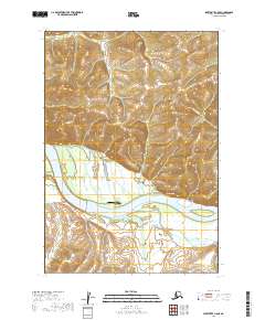
2019 Map of Sleetmute C-8 SE
USGS Topo · Published 2019About this map
Napaimiut sits on the northern bank of the Kuskokwim River, serving as a central point of human activity in this remote stretch of the Bethel Census Area. The landscape is defined by the massive river corridor and the drainage systems of Victoria Cr and New York Cr, which carve through the surrounding highlands. This 2019 survey illustrates the vital role of aviation in the Alaskan interior, specifically highlighting the Napaimiut Pioneer Airfield as a critical connection point for the small settlement.
Find a feature on this map
11 named features on this map. Tap any name to fly to it.
Don’t see what you’re looking for? This feature index may not catch every label — zoom into the map to look around manually.
Map Details
Editions of this 2019 Sleetmute C-8 SE Map
This is the sole edition of this map. No revisions or reprints were ever made.
Other maps of this area

1950 · Sleetmute
USGS Topo · 1:250,000
1954 · Sleetmute C-8
USGS Topo · 1:63,360

1954 · Sleetmute
USGS Topo · 1:250,000
1954 · Sleetmute B-8
USGS Topo · 1:63,360

1954 · Sleetmute B-7
USGS Topo · 1:63,360
1957 · Sleetmute C-7
USGS Topo · 1:63,360
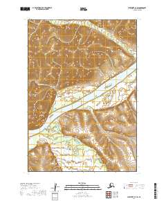
2019 · Sleetmute C-7 SW
USGS Topo · 1:25,000
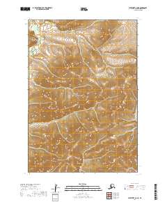
2019 · Sleetmute C-8 NE
USGS Topo · 1:25,000
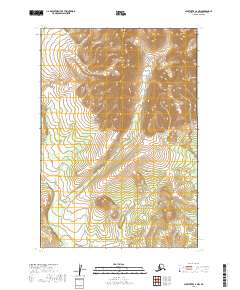
2019 · Sleetmute C-7 NW
USGS Topo · 1:25,000
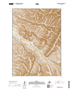
2019 · Sleetmute B-8 NW
USGS Topo · 1:25,000