
1954 Map of Sleetmute B-7
USGS Topo · Published 1968About this map
The Holokuk River carves a winding path through this corner of the Yukon-Kuskokwim Delta region, a landscape dominated by the high ridges of the Buckstock Mountains. Mapped from aerial photographs taken in the early 1950s, this survey documents a wilderness of named drainages and peaks before modern infrastructure reached the interior. The river system is fed by numerous tributaries including Ski Creek and Beemguiga Creek, while the terrain rises to notable heights at Kaluvarawluk Mountain and Holokuk Mountain. The presence of Gold Run suggests the historical prospecting interests that often drove inland exploration in this part of Alaska. Small land features such as Kogoyuk and various seasonal watercourses like Girl Creek and Chinookluk Creek provide a granular view of the local topography as it was understood by the Army Map Service.
Find a feature on this map
14 named features on this map. Tap any name to fly to it.
Don’t see what you’re looking for? This feature index may not catch every label — zoom into the map to look around manually.
Map Details
Editions of this 1954 Sleetmute B-7 Map
This is the sole edition of this map. No revisions or reprints were ever made.
Other maps of this area

1950 · Sleetmute
USGS Topo · 1:250,000
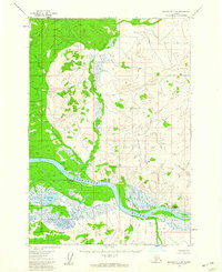
1954 · Sleetmute C-8
USGS Topo · 1:63,360

1954 · Sleetmute C-6
USGS Topo · 1:63,360

1954 · Sleetmute
USGS Topo · 1:250,000

1954 · Sleetmute A-7
USGS Topo · 1:63,360
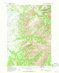
1954 · Sleetmute A-8
USGS Topo · 1:63,360

1954 · Sleetmute A-6
USGS Topo · 1:63,360
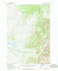
1954 · Sleetmute B-8
USGS Topo · 1:63,360

1954 · Sleetmute B-6
USGS Topo · 1:63,360
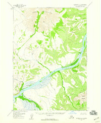
1957 · Sleetmute C-7
USGS Topo · 1:63,360