
1954 Map of Sleetmute A-7
USGS Topo · Published 1968About this map
The Buckstock Mountains and Kiokluk Mountains dominate this mid-century topographic profile of the Alaskan interior near Bethel. Mapped by the Army Map Service using aerial photography from 1953 and 1955, the terrain is defined by a dense network of watercourses carving through the high country. Major drainages include the Holokuk River and the Buckstock River, which serve as the primary geographical anchors for this unsurveyed territory. Smaller tributaries like Girl Creek and Boss Creek branch into the uplands, while the southern reaches are marked by the winding paths of Oksotalik Creek and Atsaksovluk Creek. This map captures the region before extensive modern development, showing land lines that were predetermined by the Bureau of Land Management but remained unmarked on the ground at the time of publication.
Find a feature on this map
9 named features on this map. Tap any name to fly to it.
Don’t see what you’re looking for? This feature index may not catch every label — zoom into the map to look around manually.
Map Details
Editions of this 1954 Sleetmute A-7 Map
This is the sole edition of this map. No revisions or reprints were ever made.
Other maps of this area

1950 · Sleetmute
USGS Topo · 1:250,000

1950 · Taylor Mountains
USGS Topo · 1:250,000

1951 · Taylor Mountains
USGS Topo · 1:250,000

1954 · Sleetmute
USGS Topo · 1:250,000

1954 · Taylor Mountains
USGS Topo · 1:250,000

1954 · Taylor Mountains D-8
USGS Topo · 1:63,360

1954 · Taylor Mountains D-6
USGS Topo · 1:63,360
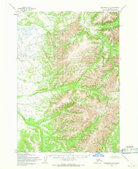
1954 · Sleetmute A-8
USGS Topo · 1:63,360

1954 · Sleetmute A-6
USGS Topo · 1:63,360
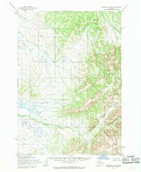
1954 · Sleetmute B-8
USGS Topo · 1:63,360