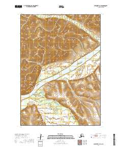
2019 Map of Sleetmute C-7 SW
USGS Topo · Published 2019About this map
The Kuskokwim River dominates this interior landscape, winding through a broad valley where it meets the confluence of the Holokuk River. The terrain is defined by significant elevation changes, notably at Gibraltar Point and the steep drainage of Murray Gulch. Smaller tributaries including Aghaluk Cr, Sue Cr, and New York Cr feed into the primary river systems, illustrating the complex hydrography of the Bethel Census Area. The absence of roads or established settlements emphasizes the wilderness character of the region, where the river serves as the primary corridor for movement. This survey provides a precise look at the natural drainage patterns and land contours before more modern human footprints might alter the remote riverbanks.
Find a feature on this map
13 named features on this map. Tap any name to fly to it.
Don’t see what you’re looking for? This feature index may not catch every label — zoom into the map to look around manually.
Map Details
Editions of this 2019 Sleetmute C-7 SW Map
This is the sole edition of this map. No revisions or reprints were ever made.
Other maps of this area

1950 · Sleetmute
USGS Topo · 1:250,000
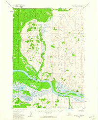
1954 · Sleetmute C-8
USGS Topo · 1:63,360

1954 · Sleetmute
USGS Topo · 1:250,000
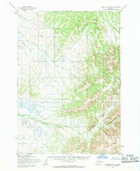
1954 · Sleetmute B-8
USGS Topo · 1:63,360

1954 · Sleetmute B-7
USGS Topo · 1:63,360
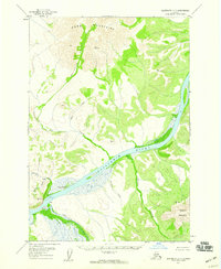
1957 · Sleetmute C-7
USGS Topo · 1:63,360
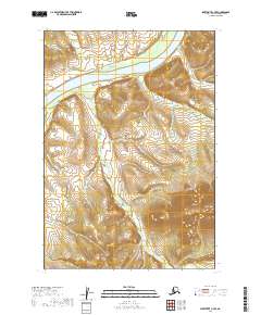
2019 · Sleetmute C-7 SE
USGS Topo · 1:25,000
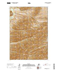
2019 · Sleetmute C-8 NE
USGS Topo · 1:25,000
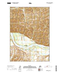
2019 · Sleetmute C-8 SE
USGS Topo · 1:25,000
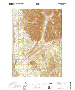
2019 · Sleetmute C-7 NW
USGS Topo · 1:25,000