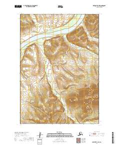
2019 Map of Sleetmute C-7 SE
USGS Topo · Published 2019About this map
The Kuskokwim River dominates the northern reaches of this Alaskan landscape, cutting a wide path through the Bethel Census Area. The river's winding course is flanked by extensive wetlands and low-lying drainage systems, including the complex meanders of Veahna Cr which feeds into the larger waterway from the south. In the southeastern corner, the terrain shifts dramatically as the land rises toward the heights of Aghaluk Mtn. This peak serves as a significant landmark in a region otherwise characterized by its intricate water systems and seasonal drainages such as Aghaluk Cr. The survey illustrates the stark transition between the river valley's riparian environment and the higher elevations of the interior, capturing a territory defined by its natural watercourses and lack of established road infrastructure.
Find a feature on this map
10 named features on this map. Tap any name to fly to it.
Don’t see what you’re looking for? This feature index may not catch every label — zoom into the map to look around manually.
Map Details
Editions of this 2019 Sleetmute C-7 SE Map
This is the sole edition of this map. No revisions or reprints were ever made.
Other maps of this area

1950 · Sleetmute
USGS Topo · 1:250,000

1954 · Sleetmute C-6
USGS Topo · 1:63,360

1954 · Sleetmute
USGS Topo · 1:250,000

1954 · Sleetmute B-6
USGS Topo · 1:63,360

1954 · Sleetmute B-7
USGS Topo · 1:63,360
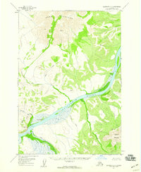
1957 · Sleetmute C-7
USGS Topo · 1:63,360
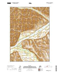
2019 · Sleetmute C-7 SW
USGS Topo · 1:25,000
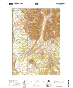
2019 · Sleetmute C-7 NW
USGS Topo · 1:25,000
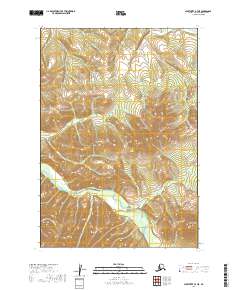
2019 · Sleetmute B-7 NE
USGS Topo · 1:25,000
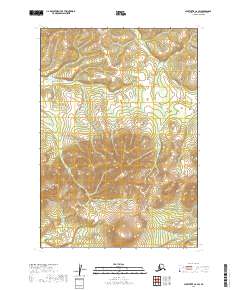
2019 · Sleetmute C-6 SW
USGS Topo · 1:25,000