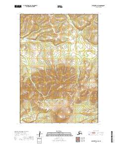
2019 Map of Sleetmute C-6 SW
USGS Topo · Published 2019About this map
Aghaluk Mtn stands as the primary landmark in this remote section of the Bethel Census Area, where the terrain shifts from low-lying wetlands to significant elevations. The map reveals a landscape dominated by the intricate drainage patterns of the t17n r49w and t18n r49w townships, characterized by numerous small ponds and marshy areas in the northern reaches that give way to the rising slopes of the mountain in the southwest. This area, largely devoid of developed infrastructure or permanent settlements, represents a pristine example of the Alaska interior's natural topography as documented in the early twenty-first century. The absence of roads or trails emphasizes the isolation of this region, which remains primarily defined by its hydrological features and the prominent profile of Aghaluk Mountain.
Find a feature on this map
9 named features on this map. Tap any name to fly to it.
Don’t see what you’re looking for? This feature index may not catch every label — zoom into the map to look around manually.
Map Details
Editions of this 2019 Sleetmute C-6 SW Map
This is the sole edition of this map. No revisions or reprints were ever made.
Other maps of this area

1950 · Sleetmute
USGS Topo · 1:250,000

1954 · Sleetmute C-6
USGS Topo · 1:63,360

1954 · Sleetmute
USGS Topo · 1:250,000

1954 · Sleetmute B-6
USGS Topo · 1:63,360

1954 · Sleetmute B-7
USGS Topo · 1:63,360
1957 · Sleetmute C-7
USGS Topo · 1:63,360
2019 · Sleetmute C-7 SE
USGS Topo · 1:25,000
2019 · Sleetmute B-7 NE
USGS Topo · 1:25,000
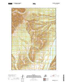
2019 · Sleetmute C-7 NE
USGS Topo · 1:25,000
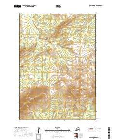
2019 · Sleetmute B-6 NW
USGS Topo · 1:25,000