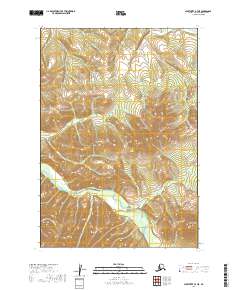
2019 Map of Sleetmute B-7 NE
USGS Topo · Published 2019About this map
The Holokuk River winds through the southern reaches of this interior Alaskan landscape, serving as the primary drainage for a network of tributary streams. The terrain is defined by prominent elevations including Kaluvarawluk Mtn in the north and Holokuk Mtn to the southeast, which overlook the valleys of Ski Cr and Beemguiga Cr. This 2019 survey by the U.S. Geological Survey illustrates a wild, non-settled region of the Bethel Census Area where topographic relief and watercourses are the only permanent landmarks. The mapping includes Gold Run, indicating the precise drainage patterns of this high-latitude environment before modern shifts in hydrography or vegetation occur. The absence of roads or established settlements emphasizes the isolation of these peaks and the importance of the river systems for any seasonal passage through the area.
Find a feature on this map
10 named features on this map. Tap any name to fly to it.
Don’t see what you’re looking for? This feature index may not catch every label — zoom into the map to look around manually.
Map Details
Editions of this 2019 Sleetmute B-7 NE Map
This is the sole edition of this map. No revisions or reprints were ever made.
Other maps of this area

1950 · Sleetmute
USGS Topo · 1:250,000

1954 · Sleetmute C-6
USGS Topo · 1:63,360

1954 · Sleetmute
USGS Topo · 1:250,000

1954 · Sleetmute B-6
USGS Topo · 1:63,360

1954 · Sleetmute B-7
USGS Topo · 1:63,360
1957 · Sleetmute C-7
USGS Topo · 1:63,360
2019 · Sleetmute B-7 SW
USGS Topo · 1:25,000
2019 · Sleetmute C-7 SW
USGS Topo · 1:25,000
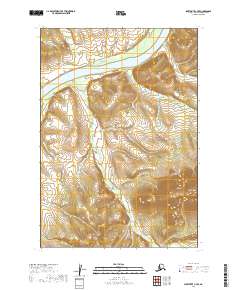
2019 · Sleetmute C-7 SE
USGS Topo · 1:25,000
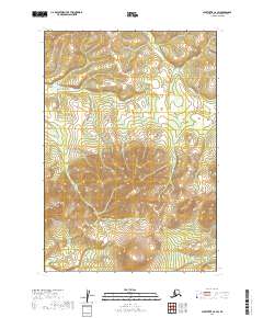
2019 · Sleetmute C-6 SW
USGS Topo · 1:25,000