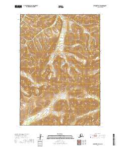
2019 Map of Sleetmute B-7 SW
USGS Topo · Published 2019About this map
Buckstock Mountains dominate the interior of this Bethel Census Area landscape, providing a clear view of the high-altitude topography of interior Alaska. The drainage pattern is defined by Kogoyuk Cr, which cuts through the central valley as it flows north through the townships of T14N R52W and T15N R52W. This 2019 survey documents a wilderness area primarily defined by its natural contours and water systems, showing no established road networks or permanent settlements. The map is an essential reference for understanding the physical geography of the region before further environmental or geological shifts occur.
Find a feature on this map
8 named features on this map. Tap any name to fly to it.
Don’t see what you’re looking for? This feature index may not catch every label — zoom into the map to look around manually.
Map Details
Editions of this 2019 Sleetmute B-7 SW Map
This is the sole edition of this map. No revisions or reprints were ever made.
Other maps of this area

1950 · Sleetmute
USGS Topo · 1:250,000

1954 · Sleetmute
USGS Topo · 1:250,000

1954 · Sleetmute A-7
USGS Topo · 1:63,360
1954 · Sleetmute A-8
USGS Topo · 1:63,360
1954 · Sleetmute B-8
USGS Topo · 1:63,360

1954 · Sleetmute B-7
USGS Topo · 1:63,360
2019 · Sleetmute B-8 SE
USGS Topo · 1:25,000
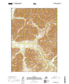
2019 · Sleetmute A-7 NW
USGS Topo · 1:25,000
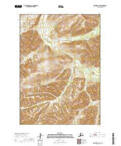
2019 · Sleetmute A-8 NE
USGS Topo · 1:25,000
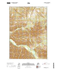
2019 · Sleetmute B-7 NE
USGS Topo · 1:25,000