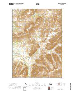
2019 Map of Sleetmute B-8 SE
USGS Topo · Published 2019About this map
The Kuskokwim Mountains and Buckstock Mountains dominate this interior landscape, forming a high-elevation drainage divide within the Bethel Census Area. This 2019 survey documents a complex hydrological system where the Buckstock River meanders through wide, wetland-rich valleys in the south, while northern drainages like Victoria Cr and Doestock Cr cut more sharply through the upland terrain. The map's detailed topography highlights the contrast between the saturated bottomlands and the steep ridgelines that characterize the transition from riverine plains to mountainous heights. These patterns of water flow and elevation remain largely untouched by modern infrastructure, preserving a snapshot of the region's natural geography and the intricate network of tributaries that feed the greater Kuskokwim basin.
Find a feature on this map
12 named features on this map. Tap any name to fly to it.
Don’t see what you’re looking for? This feature index may not catch every label — zoom into the map to look around manually.
Map Details
Editions of this 2019 Sleetmute B-8 SE Map
This is the sole edition of this map. No revisions or reprints were ever made.
Other maps of this area

1950 · Sleetmute
USGS Topo · 1:250,000

1954 · Sleetmute
USGS Topo · 1:250,000

1954 · Sleetmute A-7
USGS Topo · 1:63,360
1954 · Sleetmute A-8
USGS Topo · 1:63,360
1954 · Sleetmute B-8
USGS Topo · 1:63,360

1954 · Sleetmute B-7
USGS Topo · 1:63,360
2019 · Sleetmute B-7 SW
USGS Topo · 1:25,000
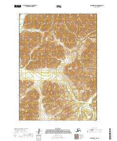
2019 · Sleetmute A-7 NW
USGS Topo · 1:25,000
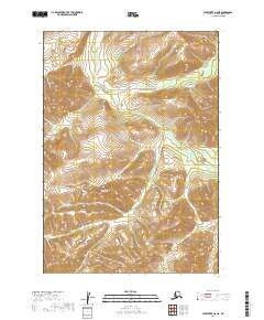
2019 · Sleetmute A-8 NE
USGS Topo · 1:25,000
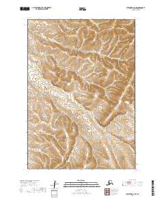
2019 · Sleetmute B-8 NW
USGS Topo · 1:25,000