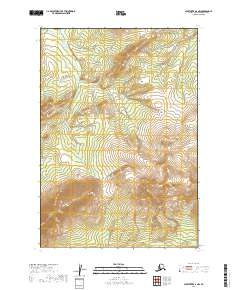
2019 Map of Sleetmute B-6 NW
USGS Topo · Published 2019About this map
Holokuk Mtn dominates the southern reaches of this interior Alaskan landscape, serving as a primary topographic landmark within the Bethel Census Area. The terrain is defined by a network of drainage systems, with Veahna Cr and its tributaries cutting through the northern sections while Beemguia Cr and Chineekluk Cr flow through the lower elevations. This 2019 survey, based on data from the U.S. Geological Survey and other federal agencies, provides a clear view of the Public Land Survey System grid, specifically identifying t16n r50w, t16n r49w, t15n r50w, and t15n r49w. The absence of developed roads or named settlements reflects the remote nature of this wilderness area, where the physical geography of high peaks and cold-water creeks remains the primary identifying characteristic.
Find a feature on this map
8 named features on this map. Tap any name to fly to it.
Don’t see what you’re looking for? This feature index may not catch every label — zoom into the map to look around manually.
Map Details
Editions of this 2019 Sleetmute B-6 NW Map
This is the sole edition of this map. No revisions or reprints were ever made.
Other maps of this area

1950 · Sleetmute
USGS Topo · 1:250,000

1954 · Sleetmute C-6
USGS Topo · 1:63,360

1954 · Sleetmute
USGS Topo · 1:250,000

1954 · Sleetmute B-6
USGS Topo · 1:63,360

1954 · Sleetmute B-7
USGS Topo · 1:63,360
1957 · Sleetmute C-7
USGS Topo · 1:63,360
2019 · Sleetmute C-7 SE
USGS Topo · 1:25,000
2019 · Sleetmute B-7 NE
USGS Topo · 1:25,000
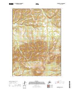
2019 · Sleetmute C-6 SW
USGS Topo · 1:25,000
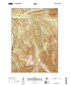
2019 · Sleetmute B-6 SW
USGS Topo · 1:25,000