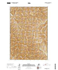
2019 Map of Sleetmute D-3 NW
USGS Topo · Published 2019About this map
Kuskokwim Mountains terrain dominates this 2019 landscape in the Bethel Census Area, where the topography is defined by the winding course of Inowak Cr. This part of interior Alaska exhibits a complex network of ridgelines and drainage basins, reflecting the remote character of the region. The map provides a detailed view of the township and range divisions, including t22n r43w and t21n r42w, which are essential for understanding land partitioning in this roadless wilderness. The lack of named settlements or infrastructure highlights the purely natural state of the terrain, centered on the high elevations and creek systems that feed into the larger Kuskokwim River watershed.
Find a feature on this map
6 named features on this map. Tap any name to fly to it.
Don’t see what you’re looking for? This feature index may not catch every label — zoom into the map to look around manually.
Map Details
Editions of this 2019 Sleetmute D-3 NW Map
This is the sole edition of this map. No revisions or reprints were ever made.
Other maps of this area

1950 · Sleetmute
USGS Topo · 1:250,000

1951 · Iditarod
USGS Topo · 1:250,000

1954 · Sleetmute D-4
USGS Topo · 1:63,360

1954 · Sleetmute D-3
USGS Topo · 1:63,360

1954 · Iditarod A-3
USGS Topo · 1:63,360

1954 · Iditarod A-2
USGS Topo · 1:63,360

1954 · Sleetmute
USGS Topo · 1:250,000

1956 · Iditarod
USGS Topo · 1:250,000
2019 · Sleetmute D-3 SW
USGS Topo · 1:25,000
2019 · Sleetmute D-3 SE
USGS Topo · 1:25,000