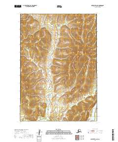
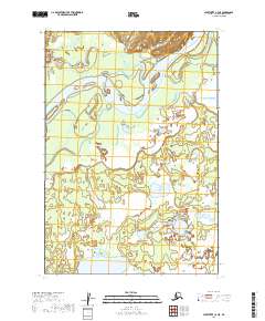
2019 Map of Sleetmute D-3 SE
USGS Topo · Published 2019About this map
Kuskokwim River serves as the dominant geographical feature in this interior Alaskan landscape, which was mapped by the U.S. Geological Survey using data from 2001 to 2018. The map centers on the winding valley of Itnowak Cr, where the terrain transitions from low-lying wetlands into the surrounding uplands. Unlike many other quadrangles, this area lacks permanent roads or buildings, representing a period of wilderness where transport and navigation relied on natural watercourses. The inclusion of Public Land Survey System grids, such as t20n r42w and t19n r41w, provides a framework for researchers to locate specific tracts of land within this remote portion of the Bethel Census Area.
Find a feature on this map
8 named features on this map. Tap any name to fly to it.
Don’t see what you’re looking for? This feature index may not catch every label — zoom into the map to look around manually.
Map Details
Editions of this 2019 Sleetmute D-3 SE Map
This is the sole edition of this map. No revisions or reprints were ever made.
Other maps of this area

1950 · Sleetmute
USGS Topo · 1:250,000

1954 · Sleetmute D-3
USGS Topo · 1:63,360

1954 · Sleetmute C-2
USGS Topo · 1:63,360

1954 · Sleetmute D-2
USGS Topo · 1:63,360

1954 · Sleetmute C-3
USGS Topo · 1:63,360

1954 · Sleetmute
USGS Topo · 1:250,000
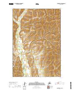
2019 · Sleetmute D-2 NW
USGS Topo · 1:25,000
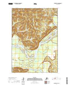
2019 · Sleetmute C-3 NW
USGS Topo · 1:25,000
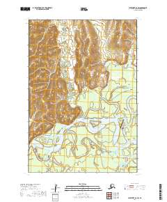
2019 · Sleetmute D-2 SW
USGS Topo · 1:25,000
2019 · Sleetmute C-3 NE
USGS Topo · 1:25,000