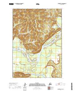
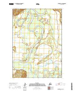
2019 Map of Sleetmute C-3 NW
USGS Topo · Published 2019About this map
Sleetmute stands as the primary human landmark in this wilderness landscape, situated at the confluence of significant interior waterways. The topography is dominated by the winding path of the Kuskokwim River, which carves through the central portion of the quadrangle and is joined by the Holitna River further south. These river systems historically served as the primary transportation corridors for travel and subsistence in this part of the Bethel Census Area.
Find a feature on this map
8 named features on this map. Tap any name to fly to it.
Don’t see what you’re looking for? This feature index may not catch every label — zoom into the map to look around manually.
Map Details
Editions of this 2019 Sleetmute C-3 NW Map
This is the sole edition of this map. No revisions or reprints were ever made.
Other maps of this area

1950 · Sleetmute
USGS Topo · 1:250,000

1954 · Sleetmute C-4
USGS Topo · 1:63,360

1954 · Sleetmute D-4
USGS Topo · 1:63,360

1954 · Sleetmute D-3
USGS Topo · 1:63,360

1954 · Sleetmute C-3
USGS Topo · 1:63,360

1954 · Sleetmute
USGS Topo · 1:250,000
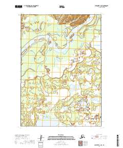
2019 · Sleetmute C-3 NE
USGS Topo · 1:25,000
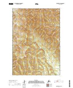
2019 · Sleetmute D-3 SW
USGS Topo · 1:25,000
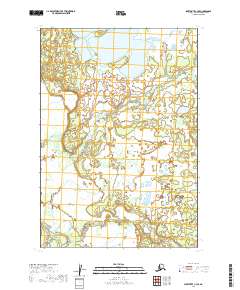
2019 · Sleetmute C-3 SE
USGS Topo · 1:25,000
2019 · Sleetmute C-3 SW
USGS Topo · 1:25,000