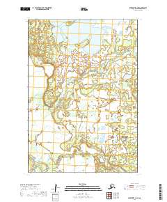
2019 Map of Sleetmute C-3 SE
USGS Topo · Published 2019About this map
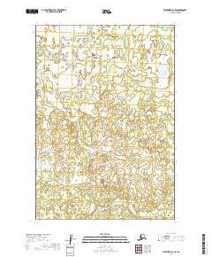
Big Lake dominates the northern landscape of this Bethel Census Area quadrangle, serving as a primary focal point within a complex network of wetlands and tundra. The southern reaches are defined by the winding course of the Hoholitna River, which cuts through the southwestern corner near Elutuli Cr. This 2019 survey illustrates the dense hydrography characteristic of the region, where braided waterways like Basket Cr meander through the central plains. The map provides a detailed view of the natural drainage patterns and topographical contours that dictate the geography of this Alaskan interior, capturing the relationship between the larger lake systems and the tributary creeks that feed the river basin. It is a fundamental resource for understanding the water-locked character of the terrain before any significant human development or infrastructure was established in this specific township and range block.
Find a feature on this map
10 named features on this map. Tap any name to fly to it.
Don’t see what you’re looking for? This feature index may not catch every label — zoom into the map to look around manually.
Map Details
Editions of this 2019 Sleetmute C-3 SE Map
This is the sole edition of this map. No revisions or reprints were ever made.
Other maps of this area

1950 · Sleetmute
USGS Topo · 1:250,000

1954 · Sleetmute C-2
USGS Topo · 1:63,360

1954 · Sleetmute C-3
USGS Topo · 1:63,360

1954 · Sleetmute
USGS Topo · 1:250,000

1954 · Sleetmute B-2
USGS Topo · 1:63,360

1954 · Sleetmute B-3
USGS Topo · 1:63,360
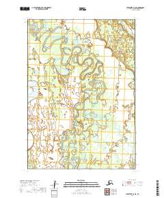
2019 · Sleetmute B-3 NE
USGS Topo · 1:25,000
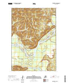
2019 · Sleetmute C-3 NW
USGS Topo · 1:25,000
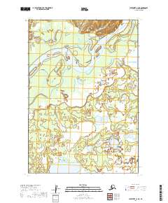
2019 · Sleetmute C-3 NE
USGS Topo · 1:25,000
2019 · Sleetmute C-2 SW
USGS Topo · 1:25,000