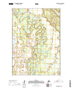
2019 Map of Sleetmute B-3 NE
USGS Topo · Published 2019About this map
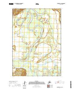
The Hoholitna River dominates this interior landscape, winding through a complex system of meanders and oxbow lakes in the Bethel Census Area. The river's serpentine path through the northern and central sections of the survey area illustrates a dynamic fluvial environment where shifting channels define the local geography. In the northeastern corner, Elutuli Cr feeds into the wider drainage network. This 2019 data represents a pristine stretch of the Alaskan wilderness, primarily used for navigation and subsistence by local populations. The absence of road infrastructure or permanent settlements underscores the isolation of the t16n r43w and t15n r42w townships, where the waterway remains the primary corridor for movement through the region.
Find a feature on this map
6 named features on this map. Tap any name to fly to it.
Don’t see what you’re looking for? This feature index may not catch every label — zoom into the map to look around manually.
Map Details
Editions of this 2019 Sleetmute B-3 NE Map
This is the sole edition of this map. No revisions or reprints were ever made.
Other maps of this area

1950 · Sleetmute
USGS Topo · 1:250,000

1954 · Sleetmute C-2
USGS Topo · 1:63,360

1954 · Sleetmute C-3
USGS Topo · 1:63,360

1954 · Sleetmute
USGS Topo · 1:250,000

1954 · Sleetmute B-2
USGS Topo · 1:63,360

1954 · Sleetmute B-3
USGS Topo · 1:63,360
2019 · Sleetmute B-3 SE
USGS Topo · 1:25,000
2019 · Sleetmute C-2 SW
USGS Topo · 1:25,000
2019 · Sleetmute C-3 SE
USGS Topo · 1:25,000
2019 · Sleetmute C-3 SW
USGS Topo · 1:25,000