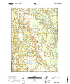
2019 Map of Sleetmute B-3 SE
USGS Topo · Published 2019About this map
The Hoholitna River winds across this section of the Bethel Census Area, defining the primary hydrological and navigational artery of this remote landscape. The terrain is structured by the Public Land Survey System, with township and range lines including t15n r43w, t15n r42w, and t14n r43w providing the only formal geographic markers in an area otherwise defined by water and wilderness. The river's meandering course, recorded here through National Hydrography Dataset records, suggests a dynamic environment where the channel shift over time is the primary force of change. This 2019 survey documents the specific alignment of the riverbed and its surrounding wetlands before further seasonal cycles or ecological shifts alter the topography of the Holitna River basin.
Find a feature on this map
7 named features on this map. Tap any name to fly to it.
Don’t see what you’re looking for? This feature index may not catch every label — zoom into the map to look around manually.
Map Details
Editions of this 2019 Sleetmute B-3 SE Map
This is the sole edition of this map. No revisions or reprints were ever made.
Other maps of this area

1950 · Sleetmute
USGS Topo · 1:250,000

1954 · Sleetmute
USGS Topo · 1:250,000

1954 · Sleetmute B-2
USGS Topo · 1:63,360

1954 · Sleetmute B-3
USGS Topo · 1:63,360
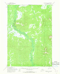
1954 · Sleetmute A-3
USGS Topo · 1:63,360
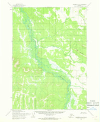
1954 · Sleetmute A-2
USGS Topo · 1:63,360
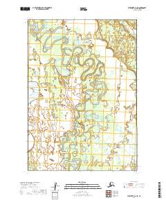
2019 · Sleetmute B-3 NE
USGS Topo · 1:25,000
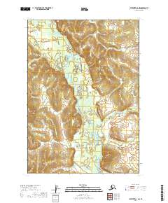
2019 · Sleetmute A-2 NW
USGS Topo · 1:25,000
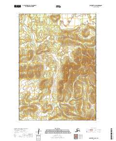
2019 · Sleetmute A-3 NE
USGS Topo · 1:25,000
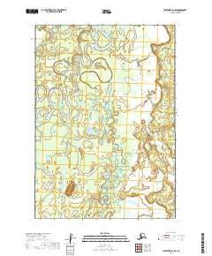
2019 · Sleetmute B-3 SW
USGS Topo · 1:25,000