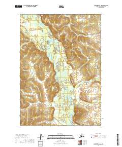
2019 Map of Sleetmute A-2 NW
USGS Topo · Published 2019About this map
Hoholitna River meanders through this interior Alaska landscape, creating a complex network of oxbows and sediment deposits within a wide valley. This 2019 USGS topo survey illustrates the river's path as it flows through the Bethel Census Area, defined by the boundaries of t13n r42w and t13n r41w. The terrain is characterized by the junction of the main river with Door Cr, where the shifting hydrology of the region is evident in the detailed contouring of the surrounding slopes and lowlands. This map serves as a precise modern record of the drainage patterns and land partitions established by the BLM prior to any major infrastructure development in this specific corridor.
Find a feature on this map
6 named features on this map. Tap any name to fly to it.
Don’t see what you’re looking for? This feature index may not catch every label — zoom into the map to look around manually.
Map Details
Editions of this 2019 Sleetmute A-2 NW Map
This is the sole edition of this map. No revisions or reprints were ever made.
Other maps of this area

1950 · Sleetmute
USGS Topo · 1:250,000

1954 · Sleetmute
USGS Topo · 1:250,000

1954 · Sleetmute B-2
USGS Topo · 1:63,360

1954 · Sleetmute B-3
USGS Topo · 1:63,360
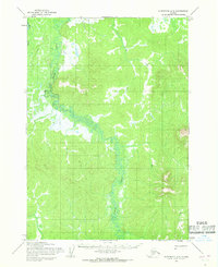
1954 · Sleetmute A-3
USGS Topo · 1:63,360
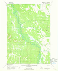
1954 · Sleetmute A-2
USGS Topo · 1:63,360
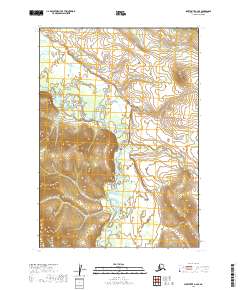
2019 · Sleetmute A-2 SE
USGS Topo · 1:25,000
2019 · Sleetmute B-2 SE
USGS Topo · 1:25,000
2019 · Sleetmute B-3 SE
USGS Topo · 1:25,000
2019 · Sleetmute A-2 NE
USGS Topo · 1:25,000