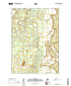
2019 Map of Sleetmute B-3 SW
USGS Topo · Published 2019About this map
The Holitna River meanders in complex oxbows and recursive loops across this portion of the Bethel Census Area. The aquatic landscape is defined by the shifting course of the main river and its contributing tributaries, including Titnuk Creek and Itulilik Cr. This 2019 survey documents a wilderness area largely devoid of structural developments, focusing instead on the hydrological patterns of the interior. The intricate braiding of Little Titnuk Cr in the eastern section of the map highlights the dynamic nature of the drainage basin, where seasonal flows constantly reshape the low-lying terrain. This map serves as a precise baseline for understanding the contemporary geography of the Holitna drainage before further natural shifts occur in the river's path.
Find a feature on this map
10 named features on this map. Tap any name to fly to it.
Don’t see what you’re looking for? This feature index may not catch every label — zoom into the map to look around manually.
Map Details
Editions of this 2019 Sleetmute B-3 SW Map
This is the sole edition of this map. No revisions or reprints were ever made.
Other maps of this area

1950 · Sleetmute
USGS Topo · 1:250,000

1954 · Sleetmute
USGS Topo · 1:250,000

1954 · Sleetmute B-3
USGS Topo · 1:63,360
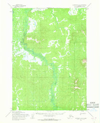
1954 · Sleetmute A-3
USGS Topo · 1:63,360

1954 · Sleetmute B-4
USGS Topo · 1:63,360
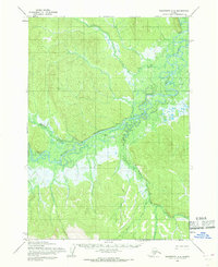
1954 · Sleetmute A-4
USGS Topo · 1:63,360
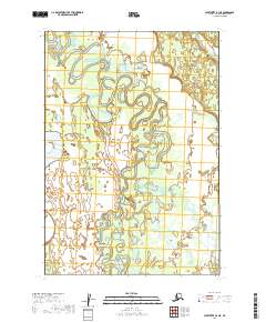
2019 · Sleetmute B-3 NE
USGS Topo · 1:25,000
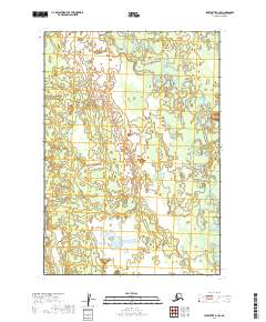
2019 · Sleetmute B-3 SE
USGS Topo · 1:25,000
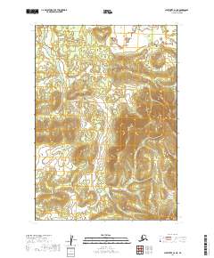
2019 · Sleetmute A-3 NE
USGS Topo · 1:25,000
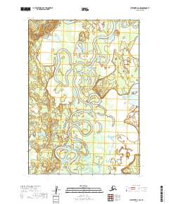
2019 · Sleetmute B-3 NW
USGS Topo · 1:25,000