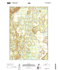
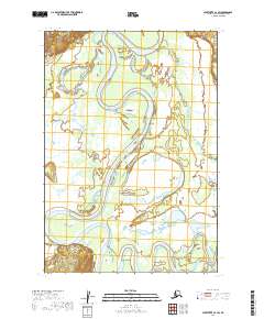
2019 Map of Sleetmute B-3 NW
USGS Topo · Published 2019About this map
Holitna River dominates this remote Alaskan interior landscape, its complex system of meanders and oxbow lakes creating a shifting aqueous environment within the Bethel Census Area. This 2019 data illustrates the dramatic serpentine path of the river as it winds through the low-lying river valley, flanked by expansive wetlands recorded by the FWS National Wetlands Inventory. The only other named watercourse of significance is Itulilik Cr, which enters the floodplain from the south. The absence of roads or settlements emphasizes the wild character of the region, where the primary topographic interest lies in the subtle elevation changes of the riverbanks and the intricate network of standing water bodies that define this portion of the Sleetmute quadrangle.
Find a feature on this map
6 named features on this map. Tap any name to fly to it.
Don’t see what you’re looking for? This feature index may not catch every label — zoom into the map to look around manually.
Map Details
Editions of this 2019 Sleetmute B-3 NW Map
This is the sole edition of this map. No revisions or reprints were ever made.
Other maps of this area

1950 · Sleetmute
USGS Topo · 1:250,000

1954 · Sleetmute C-4
USGS Topo · 1:63,360

1954 · Sleetmute C-3
USGS Topo · 1:63,360

1954 · Sleetmute
USGS Topo · 1:250,000

1954 · Sleetmute B-3
USGS Topo · 1:63,360

1954 · Sleetmute B-4
USGS Topo · 1:63,360
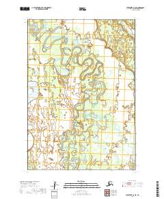
2019 · Sleetmute B-3 NE
USGS Topo · 1:25,000
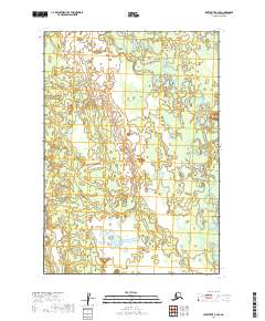
2019 · Sleetmute B-3 SE
USGS Topo · 1:25,000
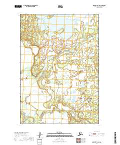
2019 · Sleetmute C-3 SE
USGS Topo · 1:25,000
2019 · Sleetmute C-3 SW
USGS Topo · 1:25,000