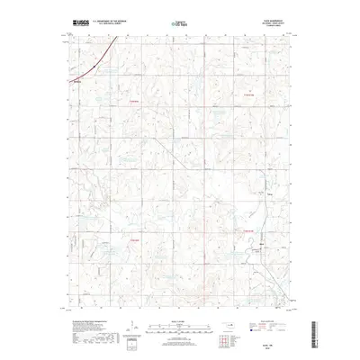
2018 Map of Slick
USGS Topo · Published 2018About this map
The town of Bristow anchors the northwestern corner of this landscape, where the Ozark Trl cuts through the terrain. The area is defined by a dense network of water management features, including numerous numbered reservoirs along the tributaries of Little Deep Fork Creek. To the southeast, the settlement of Slick sits near the intersection of Main St and Columbia Ave, serving as a local hub alongside smaller communities like Tabor.
Find a feature on this map
80 named features on this map. Tap any name to fly to it.
Don’t see what you’re looking for? This feature index may not catch every label — zoom into the map to look around manually.
Map Details
Editions of this 2018 Slick Map
This is the sole edition of this map. No revisions or reprints were ever made.
Other maps of this area

1901 · Nuyaka
USGS Topo · 1:125,000

1914 · Kiefer
USGS Topo · 1:62,500

1916 · Kiefer
USGS Topo · 1:62,500

1916 · Bristow
USGS Topo · 1:62,500

1954 · Oklahoma City
USGS Topo · 1:250,000

1957 · Oklahoma City
USGS Topo · 1:250,000

1963 · Oklahoma City
USGS Topo · 1:250,000
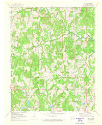
1971 · Bellvue
USGS Topo · 1:24,000
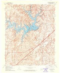
1971 · Lake Heyburn
USGS Topo · 1:24,000
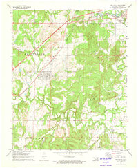
1972 · Kellyville
USGS Topo · 1:24,000