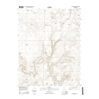
2014 Map of Slickrock Bench
USGS Topo · Published 2014About this map
Cottonwood Canyon Rd serves as the primary corridor through this high-desert landscape in Kane County, Utah. The topography is defined by significant elevation changes between massive plateaus and deeply carved drainages, most notably Slickrock Bench and the narrow passage of Hackberry Canyon. Natural water features, including Snake Cr and Hackberry Cr, provide evidence of the drainage patterns that have sculpted this region over millennia.
Find a feature on this map
26 named features on this map. Tap any name to fly to it.
Don’t see what you’re looking for? This feature index may not catch every label — zoom into the map to look around manually.
Map Details
Editions of this 2014 Slickrock Bench Map
This is the sole edition of this map. No revisions or reprints were ever made.
Other maps of this area

1886 · Kanab
USGS Topo · 1:250,000

1886 · Escalante
USGS Topo · 1:250,000

1953 · Cedar City
USGS Topo · 1:250,000

1955 · The Cockscob SW
USGS Topo · 1:24,000

1956 · Escalante
USGS Topo · 1:250,000

1958 · Cedar City
USGS Topo · 1:250,000

1960 · Escalante
USGS Topo · 1:250,000

1962 · Cedar City
USGS Topo · 1:250,000

1964 · Horse Flat
USGS Topo · 1:24,000

1964 · Canaan Peak
USGS Topo · 1:24,000