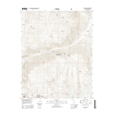
2015 Map of Slide Bluffs
USGS Topo · Published 2015About this map
Kings Canyon National Park and portions of the Sierra National Forest and Sequoia National Forest converge in this high-altitude landscape of the Sierra Nevada. The map is defined by massive topographic relief, where the Middle Fork Kings River carves deep into the granite between the Monarch Divide and the White Divide. High-country water systems are prominent throughout, from the Blue Canyon Falls to alpine clusters such as the Slide Lakes, Swamp Lakes, and Volcanic Lakes.
Find a feature on this map
44 named features on this map. Tap any name to fly to it.
Don’t see what you’re looking for? This feature index may not catch every label — zoom into the map to look around manually.
Map Details
Editions of this 2015 Slide Bluffs Map
This is the sole edition of this map. No revisions or reprints were ever made.
Other maps of this area

1903 · Tehipite
USGS Topo · 1:125,000

1905 · Tehipite
USGS Topo · 1:125,000

1912 · Mt. Goddard
USGS Topo · 1:125,000

1947 · Mariposa
USGS Topo · 1:250,000

1948 · Fresno
USGS Topo · 1:250,000

1948 · Mariposa
USGS Topo · 1:250,000

1948 · Mt. Goddard
USGS Topo · 1:62,500

1951 · Mt. Goddard
USGS Topo · 1:62,500

1952 · Mt. Goddard
USGS Topo · 1:62,500

1952 · Tehipite Dome
USGS Topo · 1:62,500