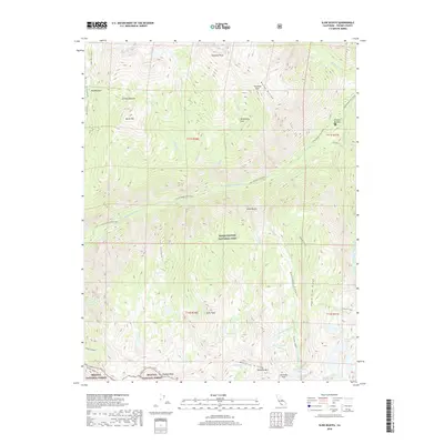
2018 Map of Slide Bluffs
USGS Topo · Published 2018About this map
Simpson Meadow serves as a focal point for this high-altitude wilderness within Kings Canyon National Park, where the Middle Fork Kings River carves through deep glacial valleys. The drainage system is particularly intricate, with the Lower Middle Fork Kings River fed by numerous tributaries including Goddard Cr, Kennedy Cr, and Alpine Cr.
Find a feature on this map
50 named features on this map. Tap any name to fly to it.
Don’t see what you’re looking for? This feature index may not catch every label — zoom into the map to look around manually.
Map Details
Editions of this 2018 Slide Bluffs Map
This is the sole edition of this map. No revisions or reprints were ever made.
Other maps of this area

1903 · Tehipite
USGS Topo · 1:125,000

1905 · Tehipite
USGS Topo · 1:125,000

1912 · Mt. Goddard
USGS Topo · 1:125,000

1947 · Mariposa
USGS Topo · 1:250,000

1948 · Fresno
USGS Topo · 1:250,000

1948 · Mariposa
USGS Topo · 1:250,000

1948 · Mt. Goddard
USGS Topo · 1:62,500

1951 · Mt. Goddard
USGS Topo · 1:62,500

1952 · Mt. Goddard
USGS Topo · 1:62,500

1952 · Tehipite Dome
USGS Topo · 1:62,500