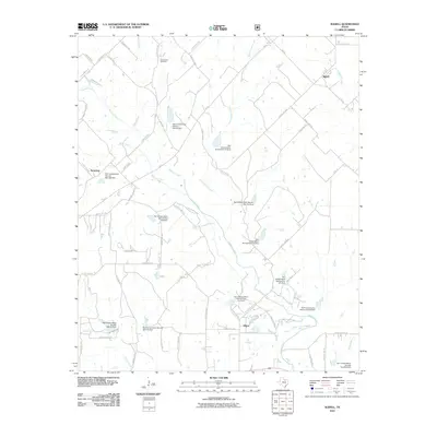
2010 Map of Slidell
USGS Topo · Published 2010About this map
Slidell serves as the primary hub in this rural Texas landscape, situated at the junction of several regional routes including FM 455 and FM 51. The surrounding countryside is defined by an extensive network of waterways and water management structures. Denton Creek winds through the center of the territory, joined by tributaries such as North Pecan Creek, Harts Creek, and Black Creek. The dominance of agricultural and land management interests is evident through the numerous Soil Conservation Service sites and dams, including Site 20 and Site 18e, which are scattered across the terrain to manage runoff. Smaller communities like Sycamore and Allison anchor the western and central sections, while Greenwood Cemetery stands as a significant local landmark for genealogical research. The map's detail of numerous private and oil lease roads reflects the area's dual focus on ranching and energy extraction.
Find a feature on this map
68 named features on this map. Tap any name to fly to it.
Don’t see what you’re looking for? This feature index may not catch every label — zoom into the map to look around manually.
Map Details
Editions of this 2010 Slidell Map
This is the sole edition of this map. No revisions or reprints were ever made.
Other maps of this area

1930 · Boyd
USGS Topo · 1:62,500

1954 · Sherman
USGS Topo · 1:250,000

1958 · Sherman
USGS Topo · 1:250,000

1959 · Ponder
USGS Topo · 1:24,000

1960 · Decatur
USGS Topo · 1:24,000

1960 · Bluett
USGS Topo · 1:24,000

1961 · Pecan Creek
USGS Topo · 1:24,000

1961 · New Harp
USGS Topo · 1:24,000

1961 · Era
USGS Topo · 1:24,000

1961 · Slidell
USGS Topo · 1:24,000