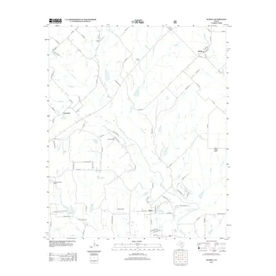
2013 Map of Slidell
USGS Topo · Published 2013About this map
Slidell serves as a primary settlement in this north Texas landscape, where the prairie is defined by a dense network of creek drainages and private aviation fields. The town is flanked by the winding courses of Denton Cr and N Pecan Cr, while the rural community of Sycamore lies to the west near Black Cr. A notable characteristic of the area is the concentration of small private landing strips, including Cain Airport, JB Ranch Airport, and Lazy G Bar Ranch Airport, suggesting a culture of private flight integrated into large ranch holdings.
Find a feature on this map
85 named features on this map. Tap any name to fly to it.
Don’t see what you’re looking for? This feature index may not catch every label — zoom into the map to look around manually.
Map Details
Editions of this 2013 Slidell Map
This is the sole edition of this map. No revisions or reprints were ever made.
Other maps of this area

1930 · Boyd
USGS Topo · 1:62,500

1954 · Sherman
USGS Topo · 1:250,000

1958 · Sherman
USGS Topo · 1:250,000

1959 · Ponder
USGS Topo · 1:24,000

1960 · Decatur
USGS Topo · 1:24,000

1960 · Bluett
USGS Topo · 1:24,000

1961 · Pecan Creek
USGS Topo · 1:24,000

1961 · New Harp
USGS Topo · 1:24,000

1961 · Era
USGS Topo · 1:24,000

1961 · Slidell
USGS Topo · 1:24,000