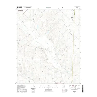
2016 Map of Slidell
USGS Topo · Published 2016About this map
Lyndon B. Johnson National Grassland dominates the northwestern corner of this Texas landscape, where the rolling prairies meet the drainage systems of the Trinity River basin. The settlement of Slidell serves as a local hub near the boundary of Wise and Denton counties, connected by a network of rural routes like FM 51. The terrain is defined by numerous watercourses, including the meandering Denton Creek, Clear Cr, and Black Cr, which create a complex system of draws and ridges.
Find a feature on this map
79 named features on this map. Tap any name to fly to it.
Don’t see what you’re looking for? This feature index may not catch every label — zoom into the map to look around manually.
Map Details
Editions of this 2016 Slidell Map
This is the sole edition of this map. No revisions or reprints were ever made.
Other maps of this area

1930 · Boyd
USGS Topo · 1:62,500

1954 · Sherman
USGS Topo · 1:250,000

1958 · Sherman
USGS Topo · 1:250,000

1959 · Ponder
USGS Topo · 1:24,000

1960 · Decatur
USGS Topo · 1:24,000

1960 · Bluett
USGS Topo · 1:24,000

1961 · Pecan Creek
USGS Topo · 1:24,000

1961 · New Harp
USGS Topo · 1:24,000

1961 · Era
USGS Topo · 1:24,000

1961 · Slidell
USGS Topo · 1:24,000