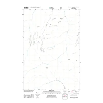
2011 Map of Sliderock Mountain
USGS Topo · Published 2011About this map
The high ridges and deep gulches of the Beartooth Range define this landscape, where mining interests have long followed the mineral veins of Iron Mountain and Gold Hill. This 2011 survey documents a geography dominated by the drainages of Upper Deer Creek and Lower Deer Creek, which carve through the terrain between Evergreen Mountain and Derby Mountain. The map illustrates a history of resource extraction, with numerous workings such as the Crow Mine, Knapp Mine, and Silver King Mine dotting the slopes of Fire Ridge and Placer Gulch. Human presence is sparse, centered on isolated landmarks like the Wepler Cabin and a network of Forest Service roads including 482 and 1713. From the southern flow of Dead Indian Creek to the prominent peak of Sliderock Mountain, the map provides a look at the enduring topography of Sweet Grass County, where names like Travois Gulch and Tie Cutter Gulch hint at the area's early transportation and timber legacies.
Find a feature on this map
43 named features on this map. Tap any name to fly to it.
Don’t see what you’re looking for? This feature index may not catch every label — zoom into the map to look around manually.
Map Details
Editions of this 2011 Sliderock Mountain Map
This is the sole edition of this map. No revisions or reprints were ever made.
Other maps of this area

1891 · Livingston
USGS Topo · 1:250,000

1891 · Big Timber
USGS Topo · 1:125,000

1893 · Livingston
USGS Topo · 1:250,000

1893 · Big Timber
USGS Topo · 1:125,000

1898 · Granite Mountain District
USGS Topo · 1:125,000

1932 · Nye No 2
USGS Topo · 1:48,000

1939 · Mt Wood
USGS Topo · 1:62,500

1941 · Mt. Wood
USGS Topo · 1:62,500

1941 · Mt Douglas
USGS Topo · 1:62,500

1943 · Mt Douglas
USGS Topo · 1:62,500