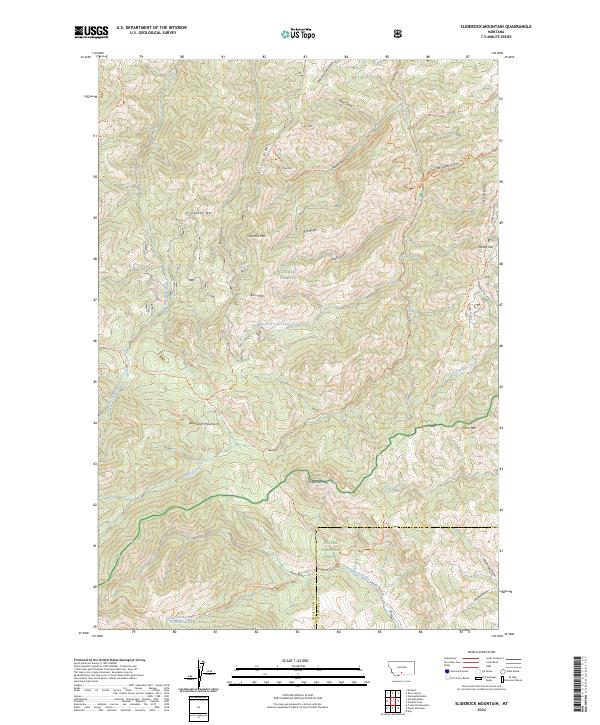
2024 Map of Sliderock Mountain
USGS Topo · Published 2024About this map
Gallatin National Forest and Custer National Forest meet in this high-altitude landscape dominated by the Beartooth Mountains. The map reveals a network of historic pathways and water sources critical to the area's movement and survival, such as the Dead Indian Trl leading toward Dead Indian Spring. The terrain is defined by prominent peaks including Sliderock Mtn, Sugarloaf Mtn, and Evergreen Mtn, which overlook a complex system of drainages like West Fork Lower Deer Creek and Trout Creek.
Find a feature on this map
61 named features on this map. Tap any name to fly to it.
Don’t see what you’re looking for? This feature index may not catch every label — zoom into the map to look around manually.
Map Details
Editions of this 2024 Sliderock Mountain Map
This is the sole edition of this map. No revisions or reprints were ever made.
Other maps of this area

1891 · Livingston
USGS Topo · 1:250,000

1891 · Big Timber
USGS Topo · 1:125,000

1893 · Livingston
USGS Topo · 1:250,000

1893 · Big Timber
USGS Topo · 1:125,000

1898 · Granite Mountain District
USGS Topo · 1:125,000

1932 · Nye No 2
USGS Topo · 1:48,000

1939 · Mt Wood
USGS Topo · 1:62,500

1941 · Mt. Wood
USGS Topo · 1:62,500

1941 · Mt Douglas
USGS Topo · 1:62,500

1943 · Mt Douglas
USGS Topo · 1:62,500