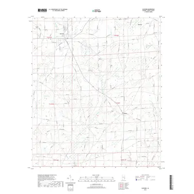
2018 Map of Slocomb
USGS Topo · Published 2018About this map
The agricultural landscape of Geneva County is anchored by Slocomb, a hub where local roads converge near the northern edge of the map. This 2018 survey reveals a terrain defined by an intricate network of waterways, including the winding Wrights Cr and Hurricane Cr, which drain the numerous low-lying basins and swamps characteristic of the Wiregrass region. The settlement pattern remains largely rural, punctuated by smaller communities like Malvern and Fadette, reflecting a long history of timber and farming activities.
Find a feature on this map
120 named features on this map. Tap any name to fly to it.
Don’t see what you’re looking for? This feature index may not catch every label — zoom into the map to look around manually.
Map Details
Editions of this 2018 Slocomb Map
This is the sole edition of this map. No revisions or reprints were ever made.
Other maps of this area

1942 · Enterprise
USGS Topo · 1:125,000

1950 · Esto
USGS Topo · 1:24,000

1951 · Graceville
USGS Topo · 1:24,000

1951 · Esto
USGS Topo · 1:24,000

1952 · Campbellton
USGS Topo · 1:24,000

1953 · Dothan
USGS Topo · 1:250,000

1954 · Dothan
USGS Topo · 1:250,000

1954 · Tallahassee
USGS Topo · 1:250,000

1955 · Dothan
USGS Topo · 1:250,000

1957 · Malvern
USGS Topo · 1:24,000