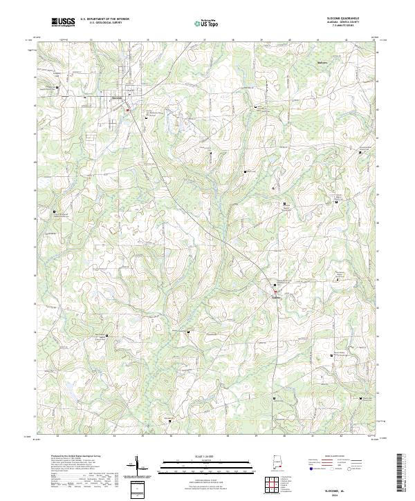
2024 Map of Slocomb
USGS Topo · Published 2024About this map
The agrarian landscape of Geneva County is defined by its network of rural congregations and the winding tributaries of the Choctawhatchee River basin. Slocomb serves as a central hub, where the intersection of Noma Rd and Court St anchors the local community. Further east, the small settlement of Malvern marks the northeastern reach of this territory. The area is exceptionally dense with sites of genealogical interest, featuring numerous historic burial grounds such as Whitaker Cem, Antioch Cem, and Martin Cem.
Find a feature on this map
149 named features on this map. Tap any name to fly to it.
Don’t see what you’re looking for? This feature index may not catch every label — zoom into the map to look around manually.
Map Details
Editions of this 2024 Slocomb Map
This is the sole edition of this map. No revisions or reprints were ever made.
Other maps of this area

1942 · Enterprise
USGS Topo · 1:125,000

1950 · Esto
USGS Topo · 1:24,000

1951 · Graceville
USGS Topo · 1:24,000

1951 · Esto
USGS Topo · 1:24,000

1952 · Campbellton
USGS Topo · 1:24,000

1953 · Dothan
USGS Topo · 1:250,000

1954 · Dothan
USGS Topo · 1:250,000

1954 · Tallahassee
USGS Topo · 1:250,000

1955 · Dothan
USGS Topo · 1:250,000

1957 · Malvern
USGS Topo · 1:24,000