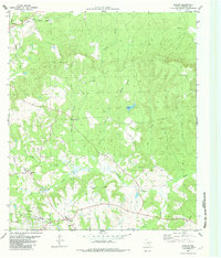
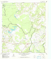
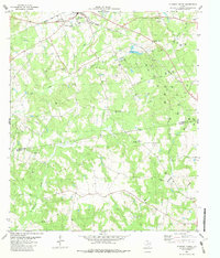
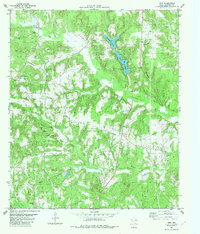
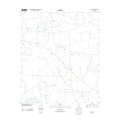
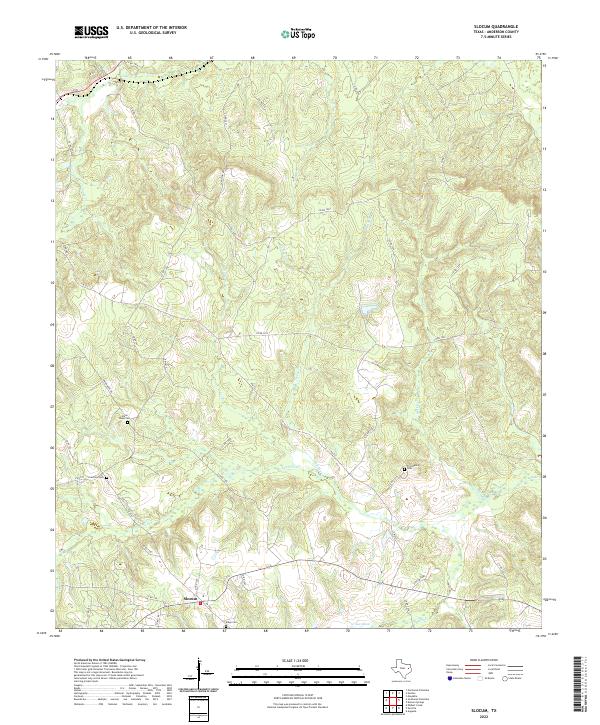
1982 Map of Slocum
USGS Topo · Published 1982About this map
The Slocum Oil Field defines the southern landscape of this 1982 East Texas survey, marked by numerous oil wells and a refinery near the settlement of Slocum. To the north, the historic Texas State Railroad cuts through the timbered terrain near Kossuth, following the valley of Stills Creek. The area is a network of rural communities and family landmarks, including Alderbranch and several country churches such as Union Hope Ch and Providence Ch. Genealogists may find value in the location of the Crawford Cem and an isolated grave near the banks of Ioni Creek. The topography is dominated by numerous seasonal branches and creeks, such as Squirrel Creek and Boggy Creek, which eventually feed into the expansive Ioni Marsh at the southeastern edge of the quadrangle.
Find a feature on this map
30 named features on this map. Tap any name to fly to it.
Don’t see what you’re looking for? This feature index may not catch every label — zoom into the map to look around manually.
Map Details
Editions of this 1982 Slocum Map
2 editions found
Historical Maps of Slocum Through Time
93 maps found
1949 Tennessee Colony
Anderson County, TX
1950 Tennessee Colony
Anderson County, TX
1952 Slocum
Anderson County, TX
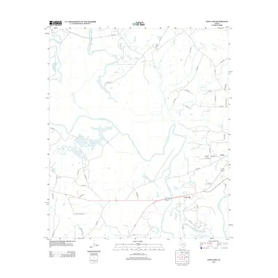
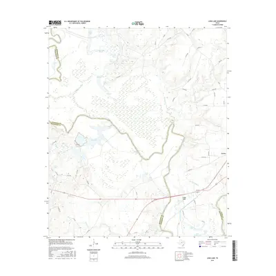
1964 Long Lake
Anderson County, TX
1982 Blackfoot
Anderson County, TX
1982 Cayuga
Anderson County, TX
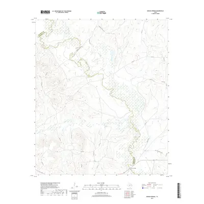
1982 Denson Springs
Anderson County, TX
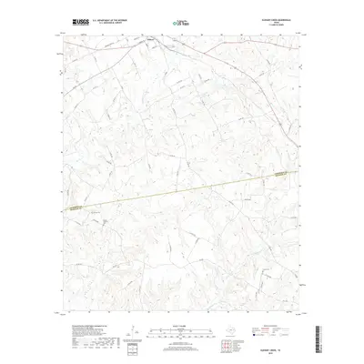
1982 Elkhart Creek
Anderson County, TX
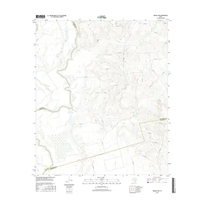
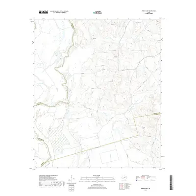
1982 Indian Lake
Anderson County, TX
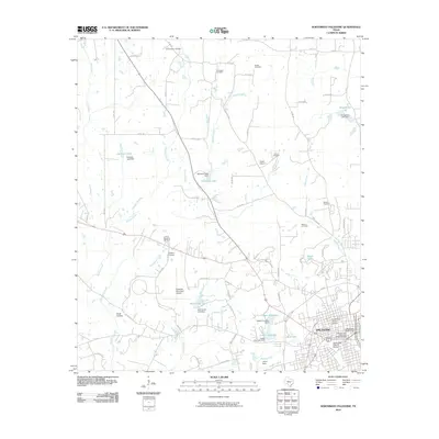
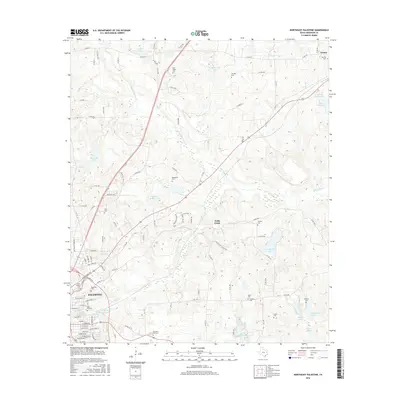
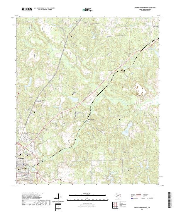
1982 Northeast Palestine
Anderson County, TX
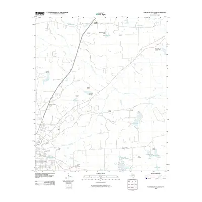
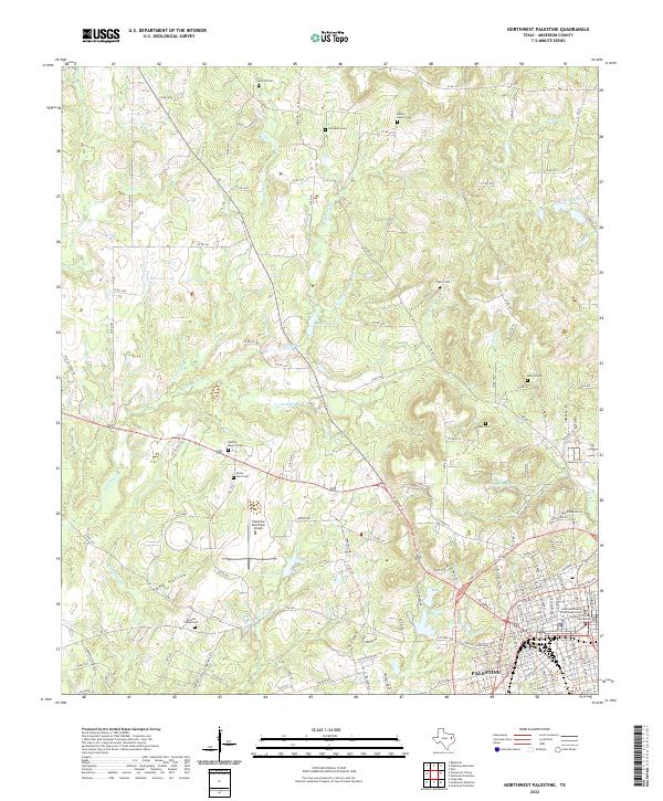
1982 Northwest Palestine
Anderson County, TX
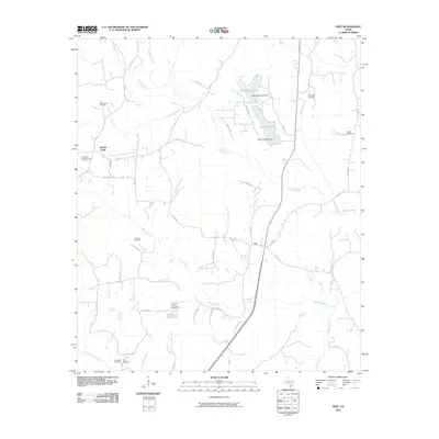
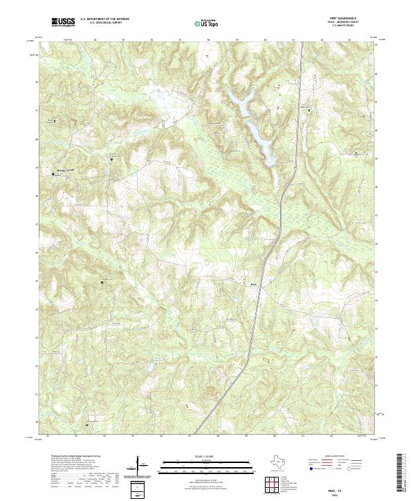
1982 Pert
Anderson County, TX
1982 Slocum
Anderson County, TX
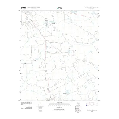
1982 Southeast Palestine
Anderson County, TX
1982 Southwest Palestine
Anderson County, TX

1982 Tennessee Colony
Anderson County, TX
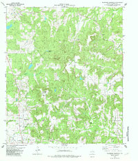
1982 Wilkerson Mountain
Anderson County, TX
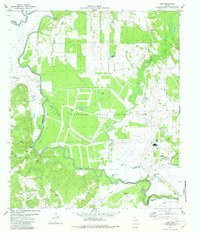
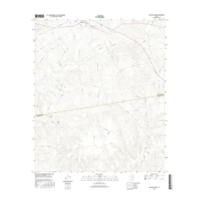
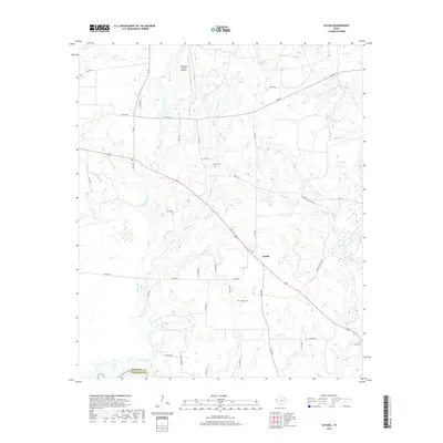
1982 Yard
Anderson County, TX
2010 Blackfoot
Anderson County, TX
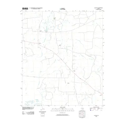
2010 Cayuga
Anderson County, TX
2010 Denson Springs
Anderson County, TX
2010 Elkhart Creek
Anderson County, TX
2010 Indian Lake
Anderson County, TX
2010 Long Lake
Anderson County, TX
2010 Northeast Palestine
Anderson County, TX
2010 Northwest Palestine
Anderson County, TX
2010 Pert
Anderson County, TX

2010 Slocum
Anderson County, TX
2010 Southeast Palestine
Anderson County, TX
2010 Southwest Palestine
Anderson County, TX
2010 Tennessee Colony
Anderson County, TX
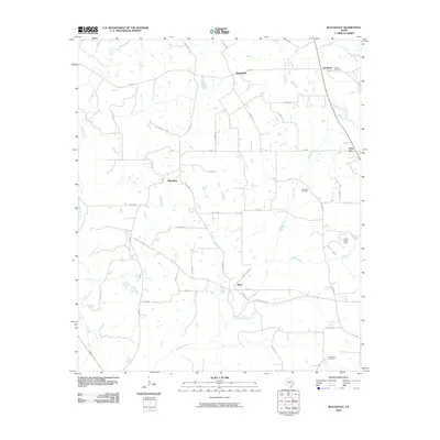
2010 Wilkerson Mountain
Anderson County, TX

2010 Yard
Anderson County, TX
2013 Blackfoot
Anderson County, TX
2013 Cayuga
Anderson County, TX
2013 Denson Springs
Anderson County, TX
2013 Elkhart Creek
Anderson County, TX
2013 Indian Lake
Anderson County, TX
2013 Long Lake
Anderson County, TX
2013 Northeast Palestine
Anderson County, TX
2013 Northwest Palestine
Anderson County, TX
2013 Pert
Anderson County, TX
2013 Slocum
Anderson County, TX
2013 Southeast Palestine
Anderson County, TX
2013 Southwest Palestine
Anderson County, TX
2013 Tennessee Colony
Anderson County, TX
2013 Wilkerson Mountain
Anderson County, TX

2013 Yard
Anderson County, TX
2016 Blackfoot
Anderson County, TX
2016 Cayuga
Anderson County, TX
2016 Denson Springs
Anderson County, TX
2016 Elkhart Creek
Anderson County, TX
2016 Indian Lake
Anderson County, TX
2016 Long Lake
Anderson County, TX
2016 Northeast Palestine
Anderson County, TX
2016 Northwest Palestine
Anderson County, TX
2016 Pert
Anderson County, TX

2016 Slocum
Anderson County, TX
2016 Southeast Palestine
Anderson County, TX
2016 Southwest Palestine
Anderson County, TX
2016 Tennessee Colony
Anderson County, TX
2016 Wilkerson Mountain
Anderson County, TX
2016 Yard
Anderson County, TX
2019 Blackfoot
Anderson County, TX
2019 Cayuga
Anderson County, TX
2019 Denson Springs
Anderson County, TX
2019 Elkhart Creek
Anderson County, TX
2019 Indian Lake
Anderson County, TX
2019 Long Lake
Anderson County, TX
2019 Northeast Palestine
Anderson County, TX
2019 Northwest Palestine
Anderson County, TX
2019 Pert
Anderson County, TX
2019 Slocum
Anderson County, TX
2019 Southeast Palestine
Anderson County, TX
2019 Southwest Palestine
Anderson County, TX
2019 Tennessee Colony
Anderson County, TX
2019 Wilkerson Mountain
Anderson County, TX
2019 Yard
Anderson County, TX
2022 Blackfoot
Anderson County, TX
2022 Cayuga
Anderson County, TX
2022 Denson Springs
Anderson County, TX
2022 Elkhart Creek
Anderson County, TX
2022 Indian Lake
Anderson County, TX
2022 Long Lake
Anderson County, TX
2022 Northeast Palestine
Anderson County, TX
2022 Northwest Palestine
Anderson County, TX
2022 Pert
Anderson County, TX
2022 Slocum
Anderson County, TX
2022 Southeast Palestine
Anderson County, TX
2022 Southwest Palestine
Anderson County, TX
2022 Tennessee Colony
Anderson County, TX
2022 Wilkerson Mountain
Anderson County, TX
2022 Yard
Anderson County, TX