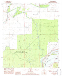
1983 Map of Slocum
USGS Topo · Published 1984About this map
Oil extraction and wildlife conservation coexist along the winding waterways of Concordia Parish in the early 1980s. The landscape is defined by the heavy meandering of Bayou Cocodrie and Middle Bayou Cocodrie, where several active petroleum sites including the Bayou Cocodrie Oil Field and Slocum Oil Field are situated among the wetlands. To the south, the Red River State Wildlife Management Area encompasses a significant portion of the terrain, protecting the area around Patton Lake and Greens Bayou.
Find a feature on this map
24 named features on this map. Tap any name to fly to it.
Don’t see what you’re looking for? This feature index may not catch every label — zoom into the map to look around manually.
Map Details
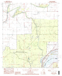
Editions of this 1983 Slocum Map
2 editions found
Other maps of this area

1935 · Tooleys
USGS Topo · 1:62,500

1939 · Artonish
USGS Topo · 1:62,500

1939 · Deer Park
USGS Topo · 1:62,500

1941 · Voorhies
USGS Topo · 1:62,500

1941 · Tooleys
USGS Topo · 1:62,500

1953 · Natchez
USGS Topo · 1:250,000

1954 · Artonish
USGS Topo · 1:62,500

1955 · Artonish
USGS Topo · 1:62,500

1956 · Natchez
USGS Topo · 1:250,000

1958 · Artonish
USGS Topo · 1:62,500