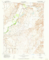
1953 Map of Sloughhouse
USGS Topo · Published 1964About this map
The Cosumnes River corridor in Sacramento County reveals a mid-century landscape of ranching, mining history, and agricultural expansion. Based on 1907 topography with 1950s updates, the map details the transition between the lowlands and the foothills. Large-scale Dredge Tailings in the northeast indicate the region's gold mining legacy, while the presence of the Central California Traction line and local roads like Grant Line Road show the established transport network. Local social centers are evident at the Alta Mesa Community Hall and the Alta Mesa Gun Club. Educational history is preserved through the locations of the Cosumnes River Sch, Lee Sch, and the already Rhoads Sch (Aban'd). The map reflects an era where family-owned ranch land and small settlements like Sloughhouse and Cosumne remained the primary character of this California valley.
Find a feature on this map
32 named features on this map. Tap any name to fly to it.
Don’t see what you’re looking for? This feature index may not catch every label — zoom into the map to look around manually.
Map Details
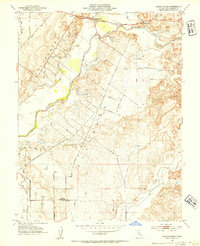
Editions of this 1953 Sloughhouse Map
2 editions found
Other maps of this area

1891 · Sacramento
USGS Topo · 1:125,000

1892 · Sacramento
USGS Topo · 1:125,000

1893 · Sacramento
USGS Topo · 1:125,000

1894 · Lodi
USGS Topo · 1:125,000

1902 · Fairoaks
USGS Topo · 1:62,500

1908 · Buffalo Creek
USGS Topo · 1:31,680

1909 · Elk Grove
USGS Topo · 1:31,680

1909 · Carbondale
USGS Topo · 1:31,680

1909 · Clay
USGS Topo · 1:31,680

1909 · Cosumnes
USGS Topo · 1:31,680