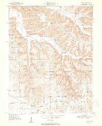
1951 Map of Smedley
USGS Topo · Published 1951About this map
Rush Creek Valley sits at the heart of this mid-century Indiana landscape, where the deeply dissected topography of Jefferson and Washington townships creates a network of ridges and hollows. The rural character of the era is defined by family-named landmarks and local institutions, including Prowsville Ch and the nearby Prowsville Cem. To the north, McKinley and Haleysburg anchor the higher ground of Fleener Ridge, while the southern reaches are dominated by the activity along the Chicago Indianapolis and Louisville railroad corridor. Here, the small settlement of Smedley and the dual-named Oxonia (Hitchcock Sta) represent the vital rail-and-road connections of the early 1950s. The map provides excellent detail for genealogists, showing precisely where Walnut Grove Sch and Four Corners Sch served these upland farming communities before the consolidation of rural school districts.
Find a feature on this map
31 named features on this map. Tap any name to fly to it.
Don’t see what you’re looking for? This feature index may not catch every label — zoom into the map to look around manually.
Map Details
Editions of this 1951 Smedley Map
3 editions found
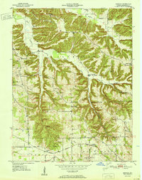
Other maps of this area

1934 · Bedford
USGS Topo · 1:48,000

1937 · Bedford
USGS Topo · 1:62,500

1950 · Salem
USGS Topo · 1:24,000

1950 · Becks Mill
USGS Topo · 1:24,000

1951 · Smedley
USGS Topo · 1:24,000

1953 · Kossuth
USGS Topo · 1:24,000

1956 · Vincennes
USGS Topo · 1:250,000

1957 · Vincennes
USGS Topo · 1:250,000

1957 · Campbellsburg
USGS Topo · 1:24,000

1957 · Livonia
USGS Topo · 1:24,000