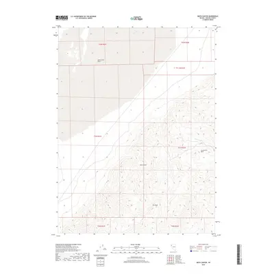
2018 Map of Smith Canyon
USGS Topo · Published 2018About this map
The Smoke Creek Desert dominates the northwest portion of this landscape, where the stark, flat terrain of the playa gives way to the rising elevations of the Fox Range. This area of Washoe County is defined by dramatic topographic shifts, moving from the desert floor into the high ridges that shelter Smith Canyon and the Cottonwood Basin. Seasonal watercourses like Dry Creek and Cottonwood Cr provide the primary drainage for the uplands, tracing narrow paths through the western slopes. The map reflects a modern record of the Public Land Survey System, showing the township and range boundaries that organize this part of the Great Basin, where the land is largely shaped by geologic forces rather than dense human settlement.
Find a feature on this map
13 named features on this map. Tap any name to fly to it.
Don’t see what you’re looking for? This feature index may not catch every label — zoom into the map to look around manually.
Map Details
Editions of this 2018 Smith Canyon Map
This is the sole edition of this map. No revisions or reprints were ever made.
Other maps of this area

1886 · Granite Range
USGS Topo · 1:250,000

1894 · Granite Range
USGS Topo · 1:250,000

1955 · Lovelock
USGS Topo · 1:250,000

1959 · Lovelock
USGS Topo · 1:250,000

1964 · Gerlach
USGS Topo · 1:62,500

1964 · Kumiva Peak
USGS Topo · 1:62,500

1965 · Fox Range
USGS Topo · 1:62,500

1980 · Hog Spring
USGS Topo · 1:24,000

1980 · Wall Spring
USGS Topo · 1:24,000

1980 · Smith Canyon
USGS Topo · 1:24,000