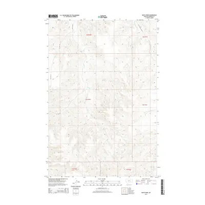
2014 Map of Smith Creek
USGS Topo · Published 2014About this map
Smith Cr defines the drainage pattern of this Rosebud County landscape, cutting a north-south path through the center of the survey. The terrain is structured by deep intermittent stream beds and ridges, with Long Prong and Slaughterhouse Cr providing further definition to the high plains topography. Sparse road infrastructure, including Smith Creek Rd and Dry Creek Rd, follows the natural contours of the land, reflecting the remote ranching character of this part of Montana. This digital-age record by the U.S. Geological Survey utilizes data from various agencies like the BLM to delineate township and range boundaries such as t5n r40e and t5n r41e, which are essential for tracing land ownership and public land history in the region.
Find a feature on this map
12 named features on this map. Tap any name to fly to it.
Don’t see what you’re looking for? This feature index may not catch every label — zoom into the map to look around manually.
Map Details
Editions of this 2014 Smith Creek Map
This is the sole edition of this map. No revisions or reprints were ever made.
Other maps of this area

1954 · Forsyth
USGS Topo · 1:250,000

1957 · Forsyth
USGS Topo · 1:250,000

1958 · Forsyth
USGS Topo · 1:250,000

1968 · Orinoco
USGS Topo · 1:24,000

1968 · Nichols
USGS Topo · 1:24,000

1968 · Forsyth
USGS Topo · 1:24,000

1971 · Griffin Coulee NE
USGS Topo · 1:24,000

1971 · Smith Creek NE
USGS Topo · 1:24,000
1971 · Smith Creek
USGS Topo · 1:24,000
1971 · Mc Kerlich Creek
USGS Topo · 1:24,000