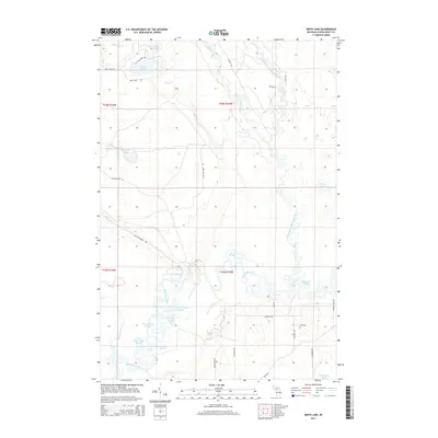
2014 Map of Smith Lake
USGS Topo · Published 2014About this map
The Manistique River and its labyrinthine drainage system define this portion of Schoolcraft County, Michigan. This landscape is a complex network of oxbows, backwaters, and wetlands, featuring numerous named sloughs such as Bear Town Slough, Catfish Slough, and Camp Number 11 Slough. These features, along with Clear Slough and Island Lake Slough, illustrate the dynamic hydrology of the region where the West Branch Manistique River converges toward the main channel.
Find a feature on this map
39 named features on this map. Tap any name to fly to it.
Don’t see what you’re looking for? This feature index may not catch every label — zoom into the map to look around manually.
Map Details
Editions of this 2014 Smith Lake Map
This is the sole edition of this map. No revisions or reprints were ever made.
Other maps of this area

1931 · Cooks NE
USGS Topo · 1:31,680

1931 · Steuben SE
USGS Topo · 1:31,680

1931 · Manistique River NE
USGS Topo · 1:31,680

1931 · Steuben NE
USGS Topo · 1:31,680

1931 · Manistique River SE
USGS Topo · 1:31,680

1931 · Manistique River NW
USGS Topo · 1:31,680

1931 · Manistique River SW
USGS Topo · 1:31,680

1954 · Escanaba
USGS Topo · 1:250,000

1957 · Escanaba
USGS Topo · 1:250,000

1958 · Escanaba
USGS Topo · 1:250,000