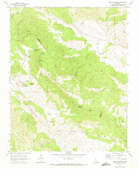
1969 Map of Smith Mountain
USGS Topo · Published 1973About this map
The San Andreas Rift Zone dominates the southwestern corner of this survey, carving a distinct geological furrow through the landscape near Slack Canyon. This 1969 field-checked map illustrates the remote boundary between Monterey and Fresno Counties, where the terrain rises toward high points like Smith Mountain and The Pinnacles. The human footprint here is sparse, focused on small-scale extraction and early ranching infrastructure.
Find a feature on this map
38 named features on this map. Tap any name to fly to it.
Don’t see what you’re looking for? This feature index may not catch every label — zoom into the map to look around manually.
Map Details
Editions of this 1969 Smith Mountain Map
2 editions found
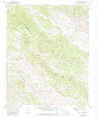
Other maps of this area

1912 · Coalinga
USGS Topo · 1:125,000

1914 · Cholame
USGS Topo · 1:125,000

1915 · Priest Valley
USGS Topo · 1:125,000

1915 · Cholame
USGS Topo · 1:125,000

1917 · Cholame
USGS Topo · 1:125,000

1919 · San Miguel
USGS Topo · 1:62,500

1941 · Priest Valley
USGS Topo · 1:62,500

1942 · Parkfield
USGS Topo · 1:24,000
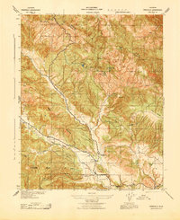
1943 · Parkfield
USGS Topo · 1:31,680
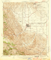
1944 · Coalinga
USGS Topo · 1:62,500