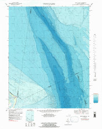
1968 Map of Smith Point
USGS Topo · Published 1984About this map
Smith Pt defines the coastal boundary where the Potomac River meets the Chesapeake Bay in the late 1960s. This survey, which includes bathymetric data added in the early 1980s, reveals the submerged topography of the bay floor, showing deep channels and shoals that have long challenged Chesapeake navigation. The shoreline features the small landform of Bamboo Island and a prominent Light, marking the critical turn for vessels entering the river. State and county boundaries converge here in the water, including the Maryland Virginia line and several county divisions like St Marys Co Somerset Co. The map captures a moment of transition between land and sea, focusing on the intricate depths and the Indefinite Bdy that characterizes this shifting maritime landscape.
Find a feature on this map
9 named features on this map. Tap any name to fly to it.
Don’t see what you’re looking for? This feature index may not catch every label — zoom into the map to look around manually.
Map Details
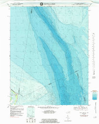
Editions of this 1968 Smith Point Map
2 editions found
Other maps of this area

1894 · Point Lookout
USGS Topo · 1:62,500

1898 · St. Marys
USGS Topo · 1:125,000

1903 · Bloodsworth Island
USGS Topo · 1:62,500

1906 · St. Marys
USGS Topo · 1:125,000

1912 · Point Lookout
USGS Topo · 1:62,500

1917 · Heathsville
USGS Topo · 1:48,000

1917 · Ewell
USGS Topo · 1:62,500

1937 · Point Lookout
USGS Topo · 1:62,500

1942 · Kedges Straits
USGS Topo · 1:24,000

1942 · Ewell
USGS Topo · 1:24,000