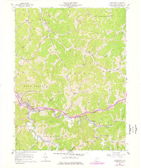
1961 Map of Smithburg
USGS Topo · Published 1977About this map
The Baltimore and Ohio railroad corridor anchors this survey of central Doddridge County, threading through the Middle Island Creek valley and connecting the settlements of Smithburg, Morgansville, and Sherwood. The landscape is a complex network of narrow hollows and ridge systems, including Nutter Ridge and the ridge above Meathouse Fork. This 1961 field-checked record, later updated with mid-1970s photogrammetric data, captures an era of active resource extraction, evidenced by numerous Oil Wells peppered across the hillsides and a Strip Mine located in the eastern reach of the quadrangle.
Find a feature on this map
70 named features on this map. Tap any name to fly to it.
Don’t see what you’re looking for? This feature index may not catch every label — zoom into the map to look around manually.
Map Details
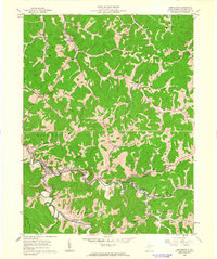
Editions of this 1961 Smithburg Map
2 editions found
Other maps of this area

1904 · Vadis
USGS Topo · 1:62,500

1905 · Centerpoint
USGS Topo · 1:62,500

1905 · West Union
USGS Topo · 1:62,500

1906 · Holbrook
USGS Topo · 1:62,500

1924 · Centerpoint
USGS Topo · 1:62,500

1924 · West Union
USGS Topo · 1:62,500

1924 · Holbrook
USGS Topo · 1:62,500

1925 · Centerpoint
USGS Topo · 1:62,500

1925 · Vadis
USGS Topo · 1:62,500

1926 · Holbrook
USGS Topo · 1:62,500