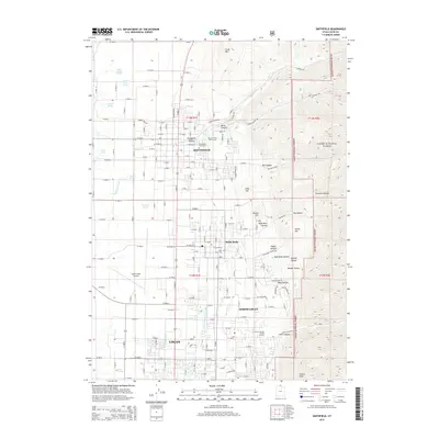
2014 Map of Smithfield
USGS Topo · Published 2014About this map
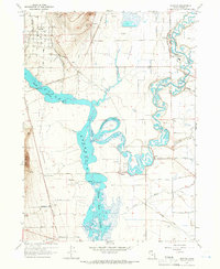
Smithfield, Hyde Park, and the northern reaches of Logan anchor this survey of the Cache Valley, where irrigation and aviation shape the landscape. The Logan and Hyde Park Canal and Benson Canal cut across the flat valley floor, reflecting the region's agricultural engineering, while the Logan-Cache Airport stands as a primary transportation hub. To the east, the terrain rises sharply into the Cache National Forest, carved by deep drainages like Smithfield Canyon and Birch Canyon. Numerous family-named water sources, including Joseph Smith Spring and Gittins Spring, dot the western slopes. This map documents the suburban expansion between the established town centers and the mountain front, tracing the transition from the manicured grounds of the Smithfield Golf Course to the high ridges of Crow Mtn and Three Hill.
Find a feature on this map
114 named features on this map. Tap any name to fly to it.
Don’t see what you’re looking for? This feature index may not catch every label — zoom into the map to look around manually.
Map Details
Editions of this 2014 Smithfield Map
This is the sole edition of this map. No revisions or reprints were ever made.
Other maps of this area

1914 · Logan
USGS Topo · 1:125,000

1916 · Logan
USGS Topo · 1:125,000

1954 · Ogden
USGS Topo · 1:250,000

1958 · Ogden
USGS Topo · 1:250,000

1960 · Ogden
USGS Topo · 1:250,000

1961 · Logan
USGS Topo · 1:24,000
1962 · Wellsville
USGS Topo · 1:24,000
1964 · Smithfield
USGS Topo · 1:24,000
1964 · Richmond
USGS Topo · 1:24,000
1964 · Newton
USGS Topo · 1:24,000