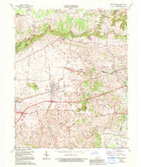
1966 Map of Smiths Grove
USGS Topo · Published 1995About this map
The rugged topography of The Knobs defines the northern horizon of this landscape, where the karst terrain of Warren and Edmonson Counties meets the edges of Mammoth Cave National Park. In the lowland plain to the south, the community of Smiths Grove serves as a central hub, historically shaped by the corridor of the Louisville and Nashville Railroad and the later development of Interstate 65, including Interchange 28. The map reveals a land heavily utilized for its natural resources, dotted with numerous oil wells and landmarks like Pilot Knob and Little Knob. Rural life is anchored by family-named sites and spiritual centers such as Kinser Cem, Liberty Hill Ch, and the settlement of Dripping Spring. The peculiar drainage patterns of the region are evident through features like Sinking Creek and Sinking Br, which disappear into the limestone shelf characteristic of this Kentucky karst country.
Find a feature on this map
44 named features on this map. Tap any name to fly to it.
Don’t see what you’re looking for? This feature index may not catch every label — zoom into the map to look around manually.
Map Details
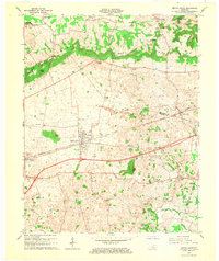
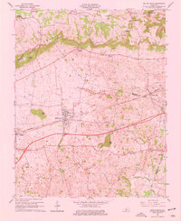
Editions of this 1966 Smiths Grove Map
3 editions found
Other maps of this area

1921 · Bowling Green
USGS Topo · 1:62,500

1922 · Brownsville
USGS Topo · 1:62,500

1922 · Mammoth Cave
USGS Topo · 1:62,500

1923 · Bowling Green
USGS Topo · 1:62,500

1923 · Mammoth Cave
USGS Topo · 1:62,500

1923 · Brownsville
USGS Topo · 1:62,500

1926 · Scottsville
USGS Topo · 1:62,500

1954 · Evansville
USGS Topo · 1:250,000

1954 · Bristow
USGS Topo · 1:24,000
1954 · Brownsville
USGS Topo · 1:24,000