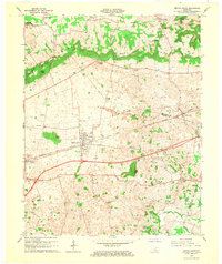
1966 Map of Smiths Grove
USGS Topo · Published 1968About this map
The Louisville and Nashville corridor anchors this portion of south-central Kentucky, where the landscape transitions from the karst plains into the prominent ridge known as The Knobs. The town of Smiths Grove sits at the heart of this topographical shift, surrounded by a dense network of country roads, cemeteries like Moon Cem and Kinser Cem, and numerous Oil Wells that speak to the area's mid-century energy production.
Find a feature on this map
40 named features on this map. Tap any name to fly to it.
Don’t see what you’re looking for? This feature index may not catch every label — zoom into the map to look around manually.
Map Details
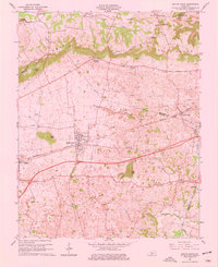
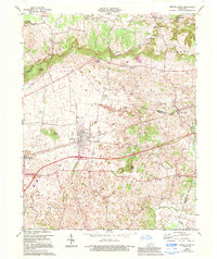
Editions of this 1966 Smiths Grove Map
3 editions found
Other maps of this area

1921 · Bowling Green
USGS Topo · 1:62,500

1922 · Brownsville
USGS Topo · 1:62,500

1922 · Mammoth Cave
USGS Topo · 1:62,500

1923 · Bowling Green
USGS Topo · 1:62,500

1923 · Mammoth Cave
USGS Topo · 1:62,500

1923 · Brownsville
USGS Topo · 1:62,500

1926 · Scottsville
USGS Topo · 1:62,500

1954 · Evansville
USGS Topo · 1:250,000

1954 · Bristow
USGS Topo · 1:24,000
1954 · Brownsville
USGS Topo · 1:24,000