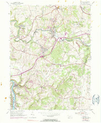
1954 Map of Smithton
USGS Topo · Published 1983About this map
Youghiogheny River coal and industrial activity define this portrait of Westmoreland County, where the steep river valley at Smithton gives way to a landscape heavily reshaped by mining. The 1954 field data, updated with 1969 aerial revisions, captures a network of strip mines and industrial sites like the Youngwood Compressing Station and the Waltz Mill facility. These industrial hubs are interconnected by the Penn Central and Baltimore and Ohio railroads, which weave through the terrain alongside the Pennsylvania Turnpike Toll Road.
Find a feature on this map
66 named features on this map. Tap any name to fly to it.
Don’t see what you’re looking for? This feature index may not catch every label — zoom into the map to look around manually.
Map Details
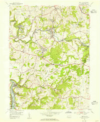
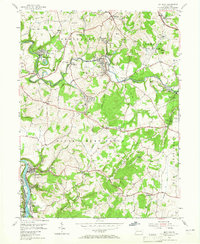
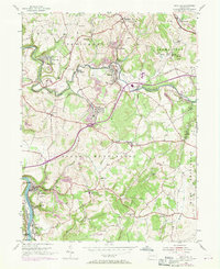
Editions of this 1954 Smithton Map
4 editions found
Other maps of this area

1902 · Brownsville
USGS Topo · 1:62,500

1902 · Connellsville
USGS Topo · 1:62,500

1904 · Mc Keesport
USGS Topo · 1:62,500

1904 · Greensburg
USGS Topo · 1:62,500

1906 · Brownsville
USGS Topo · 1:62,500

1906 · Greensburg
USGS Topo · 1:62,500

1907 · Pittsburg
USGS Topo · 1:62,500

1931 · Brownsville
USGS Topo · 1:62,500

1931 · Connellsville
USGS Topo · 1:62,500

1933 · Brownsville
USGS Topo · 1:62,500