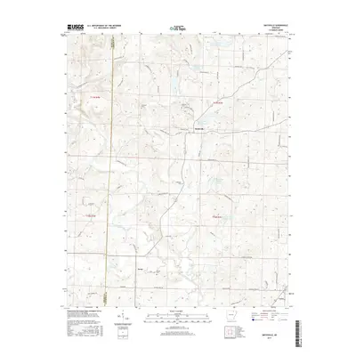
2017 Map of Smithville
USGS Topo · Published 2017About this map
The Strawberry River meanders across this landscape of Lawrence and Sharp Counties, defining the drainage patterns for a network of smaller tributaries. The settlement of Smithville serves as a central hub, surrounded by a complex system of local roads and water management features including the Cooper Creek Site One Reservoir and Cooper Creek Site Three Reservoir. These reservoirs, along with several others numbered four through six, illustrate the modern hydraulic engineering designed to manage the Cooper Creek watershed.
Find a feature on this map
73 named features on this map. Tap any name to fly to it.
Don’t see what you’re looking for? This feature index may not catch every label — zoom into the map to look around manually.
Map Details
Editions of this 2017 Smithville Map
This is the sole edition of this map. No revisions or reprints were ever made.
Other maps of this area

1932 · Strawberry
USGS Topo · 1:62,500

1934 · Powhatan
USGS Topo · 1:62,500

1935 · Powhatan
USGS Topo · 1:62,500

1935 · Alicia
USGS Topo · 1:62,500

1935 · Strawberry
USGS Topo · 1:62,500

1941 · Strawberry
USGS Topo · 1:62,500

1953 · Memphis
USGS Topo · 1:250,000

1955 · Strawberry
USGS Topo · 1:24,000

1956 · Memphis
USGS Topo · 1:250,000

1957 · Poplar Bluff
USGS Topo · 1:250,000