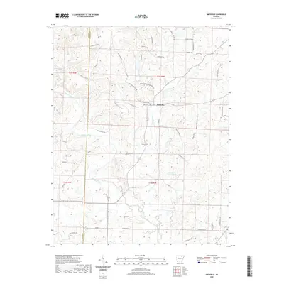
2020 Map of Smithville
USGS Topo · Published 2020About this map
Strawberry River meanders across the northern half of this Lawrence County landscape, defining the topography near the settlement of Smithville. The area is characterized by a dense network of country roads, such as Brown Dairy Rd and Bill Wade Rd, which connect small communities like Jesup and Lynn. Genealogists will find several family-named burial sites across the quadrangle, including Townsend Cem and Massey Cem. The hydrologic pattern is dominated by the many branches of Cooper Cr, including the Cooper Cr Site Six Reservoir. Cultural landmarks such as the Stoneridge Baptist Camp are situated along the winding paths of the local creek systems, reflecting the rural community structure of northern Arkansas.
Find a feature on this map
73 named features on this map. Tap any name to fly to it.
Don’t see what you’re looking for? This feature index may not catch every label — zoom into the map to look around manually.
Map Details
Editions of this 2020 Smithville Map
This is the sole edition of this map. No revisions or reprints were ever made.
Other maps of this area

1932 · Strawberry
USGS Topo · 1:62,500

1934 · Powhatan
USGS Topo · 1:62,500

1935 · Powhatan
USGS Topo · 1:62,500

1935 · Alicia
USGS Topo · 1:62,500

1935 · Strawberry
USGS Topo · 1:62,500

1941 · Strawberry
USGS Topo · 1:62,500

1953 · Memphis
USGS Topo · 1:250,000

1955 · Strawberry
USGS Topo · 1:24,000

1956 · Memphis
USGS Topo · 1:250,000

1957 · Poplar Bluff
USGS Topo · 1:250,000