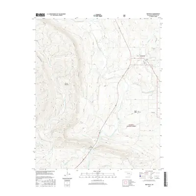
2016 Map of Smithville
USGS Topo · Published 2016About this map
The Boktuklo Mountains dominate this section of the Ouachita National Forest in southeastern Oklahoma, where the Mountain Fork river cuts a winding path through the high ridges. The settlement of Smithville serves as the primary hub in the northeast corner, evidenced by the clustered locations of the Smithville Cem and the Old Smithville Cem. These sites, along with the Nani-chito community and its corresponding Nani-Chito Cem further south, provide important touchstones for genealogical research in McCurtain County.
Find a feature on this map
26 named features on this map. Tap any name to fly to it.
Don’t see what you’re looking for? This feature index may not catch every label — zoom into the map to look around manually.
Map Details
Editions of this 2016 Smithville Map
This is the sole edition of this map. No revisions or reprints were ever made.
Other maps of this area

1900 · Winding Stair
USGS Topo · 1:125,000

1902 · Lukfata
USGS Topo · 1:125,000

1909 · Winding Stair
USGS Topo · 1:125,000

1950 · Mcalester
USGS Topo · 1:250,000

1959 · Page
USGS Topo · 1:62,500

1960 · Bethel
USGS Topo · 1:62,500

1960 · Smithville
USGS Topo · 1:62,500

1962 · McAlester
USGS Topo · 1:250,000

1965 · McAlester
USGS Topo · 1:250,000
1966 · Ludlow
USGS Topo · 1:24,000