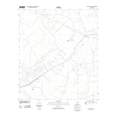
2010 Map of Smithville NW
USGS Topo · Published 2010About this map
Piney Creek and Alum Creek wind through this central Texas landscape, which reflects a blend of rural ranching roots and modern residential expansion. The street network shows distinct eras of development, with historic thoroughfares like Old Potato Rd and the Gotier Trace Rd intersecting with newer residential pockets such as those found along Cardinal Loop and Pine Valley Dr. Local water management is evident through features like Brockstein Lake and Egger Lake, both supported by their respective dams. For those researching local heritage, the Dixon Cemetery stands as a focal point for family history, situated east of the winding Mid Springs Creek. The landscape is largely defined by these creek systems, including Spicer Creek and Paint Creek, which historically dictated the placement of roads and early farmsteads.
Find a feature on this map
37 named features on this map. Tap any name to fly to it.
Don’t see what you’re looking for? This feature index may not catch every label — zoom into the map to look around manually.
Map Details
Editions of this 2010 Smithville NW Map
This is the sole edition of this map. No revisions or reprints were ever made.
Other maps of this area

1885 · Bastrop
USGS Topo · 1:125,000

1893 · Bastrop
USGS Topo · 1:125,000

1904 · Bastrop
USGS Topo · 1:125,000

1948 · Smithville
USGS Topo · 1:62,500

1948 · Elgin
USGS Topo · 1:62,500

1948 · Bastrop
USGS Topo · 1:62,500

1948 · Lexington
USGS Topo · 1:62,500

1950 · Lexington
USGS Topo · 1:62,500

1950 · Bastrop
USGS Topo · 1:62,500

1950 · Smithville
USGS Topo · 1:62,500