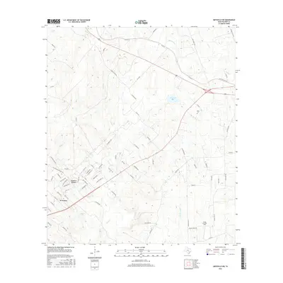
2016 Map of Smithville NW
USGS Topo · Published 2016About this map
Circle D Estates and KC Estates represent the residential growth in Bastrop County during the early 21st century, situated amidst a complex network of creeks and drainage basins. The landscape is defined by the winding paths of Piney Cr, Alum Cr, and the W Fork Gravelly Cr, which carve through the terrain south of Brockstein Lake. For local historians and genealogists, the Dixon Cem stands as a significant landmark of the area's earlier settlement.
Find a feature on this map
81 named features on this map. Tap any name to fly to it.
Don’t see what you’re looking for? This feature index may not catch every label — zoom into the map to look around manually.
Map Details
Editions of this 2016 Smithville NW Map
This is the sole edition of this map. No revisions or reprints were ever made.
Other maps of this area

1885 · Bastrop
USGS Topo · 1:125,000

1893 · Bastrop
USGS Topo · 1:125,000

1904 · Bastrop
USGS Topo · 1:125,000

1948 · Smithville
USGS Topo · 1:62,500

1948 · Elgin
USGS Topo · 1:62,500

1948 · Bastrop
USGS Topo · 1:62,500

1948 · Lexington
USGS Topo · 1:62,500

1950 · Lexington
USGS Topo · 1:62,500

1950 · Bastrop
USGS Topo · 1:62,500

1950 · Smithville
USGS Topo · 1:62,500