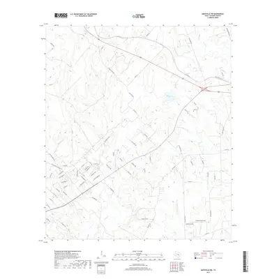
2019 Map of Smithville NW
USGS Topo · Published 2019About this map
The watershed of Alum Cr and Price Cr defines this Central Texas landscape within Bastrop County, where a dense network of residential and county roads reveals a modern era of rural subdivision. The map shows the intricate parceling of land in neighborhoods with themed street names like Cardinal Loop, Comanche Dr, and Cattlemens Dr, reflecting a transition from traditional ranching to suburban residential use. Small private reservoirs such as Brockstein Lake and Egger Lake are scattered among the drainages of W Fork Gravelly Cr and E Fork Gravelly Cr. Local history is preserved at the Dixon Cem near Dixon Rd, while the uniquely named Flying Armadillo Field sits in the southeastern quadrant, illustrating contemporary land use. This survey provides a precise look at the road development and hydrography as it existed in the late 2010s.
Find a feature on this map
78 named features on this map. Tap any name to fly to it.
Don’t see what you’re looking for? This feature index may not catch every label — zoom into the map to look around manually.
Map Details
Editions of this 2019 Smithville NW Map
This is the sole edition of this map. No revisions or reprints were ever made.
Other maps of this area

1885 · Bastrop
USGS Topo · 1:125,000

1893 · Bastrop
USGS Topo · 1:125,000

1904 · Bastrop
USGS Topo · 1:125,000

1948 · Smithville
USGS Topo · 1:62,500

1948 · Elgin
USGS Topo · 1:62,500

1948 · Bastrop
USGS Topo · 1:62,500

1948 · Lexington
USGS Topo · 1:62,500

1950 · Lexington
USGS Topo · 1:62,500

1950 · Bastrop
USGS Topo · 1:62,500

1950 · Smithville
USGS Topo · 1:62,500